
- CSS News, Success Stories
- Emergency Preparedness & Response
Responding to Tangipahoa River Contamination
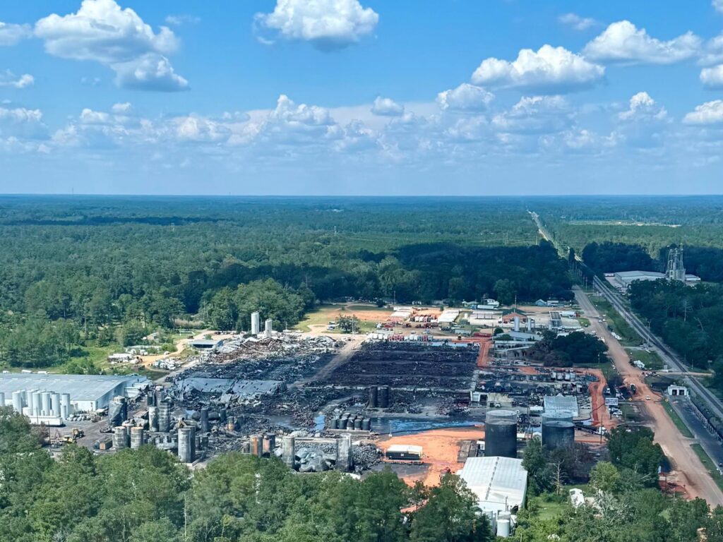
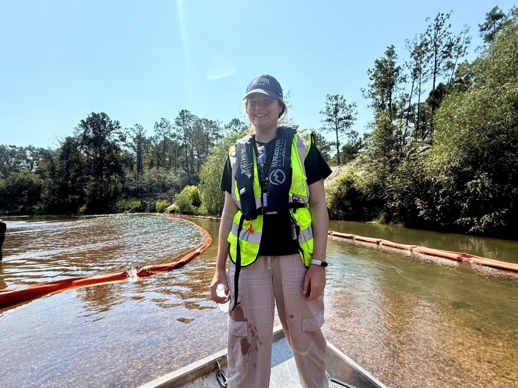
Following a fire at Smitty’s Supply facility in Louisiana’s Tangipahoa Parish on August 22, 2025, a CSS employee owner supporting the Environmental Protection Agency’s Superfund Technical Assistance and Response Team (START) sub-contract deployed to the scene on August 31 to assist with response efforts. Initially the staff member worked on logistics at the staging warehouse. After a short time, the CSS staff member spent the majority of their deployment in the field conducting roving air monitoring, searching for oil pockets on the Tangipahoa River, mapping pockets and containment booms on ArcGIS Field Maps, photographing shoreline contamination, and documenting daily oil recovery totals.
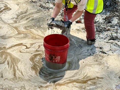
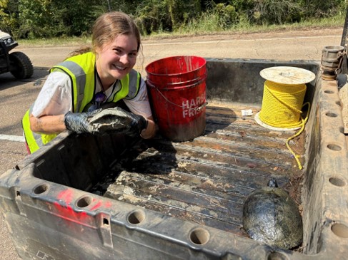
While monitoring the air for volatile organic compounds (VOCs), the CSS staff member and assigned crew discovered three turtles trapped in oil sludge. Protocol dictates that the crews report deceased or distressed wildlife to the Louisiana Department of Wildlife and Fisheries so that trained staff are able to collect the animals. However, wildlife rehabilitators were unavailable to rescue the turtles at that time. Instead, the dispatcher instructed staff on how to safely collect, contain, and clean the turtles. The CSS staff member removed the turtles from the oil one by one, placed them in the back of an ATV, and transported them to the decontamination station. From there, the team rinsed the turtles with a hose, placed them inside a kiddie pool with two inches of water, and added sorbent pads to soak up the oil sheen. The team temporarily housed the turtles until Louisiana Department of Wildlife and Fisheries could have someone pick them up the next day. A Louisiana Department of Wildlife and Fisheries employee retrieved the turtles the following afternoon. They brought them to a rehabilitation facility that specializes in helping oiled wildlife. All three turtles are expected to make a full recovery and will be released back into the wild!
Upon departure on September 16, the CSS staff member had assisted with recovering roughly 4.5 million gallons of oil.
See More CSS Insights
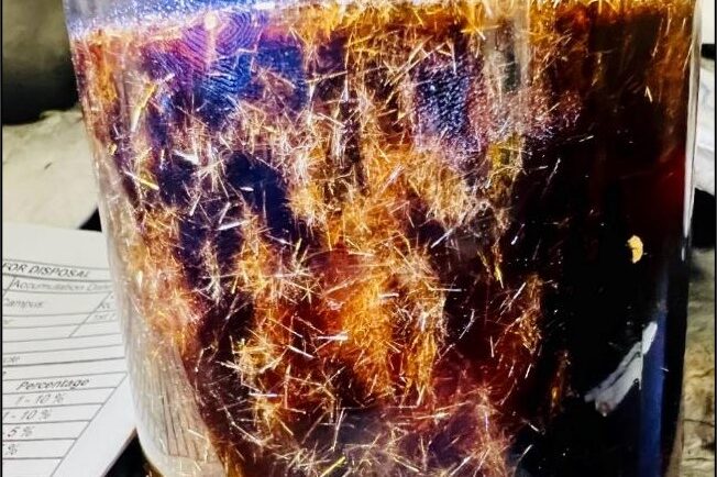
Training Staff for Handling Hazardous Waste and Responding to Chemical Spills
CSS employee owners provide on-site support to the Centers for Disease Control and Prevention (CDC) Hazardous Waste Program at several campuses around the country: Atlanta, Georgia, San Juan, Puerto Rico, and Fort Collins, Colorado. With 22 years of experience, CSS staff are responsible for providing training to laboratory and facilities staff to ensure safe handling of hazardous waste to avoid harmful…
New Data and Reports on the U.S. Marine Economy
Each year CSS economists on contract with NOAA’s Office for Coastal Management work with other federal agencies to process the most recent economic and labor data, and extract the portions related to marine-dependent sectors.
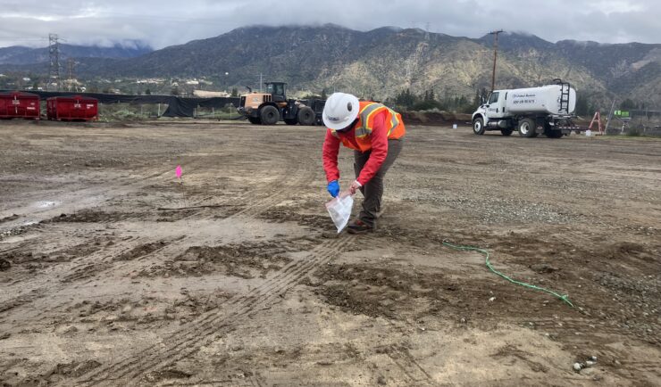
Supervisory Support for 2025 Southern California Wildfires Response Efforts
Long after wildfires are extinguished, ongoing efforts continue to assess long-term damage and contamination. CSS employee owners are often heavily involved in these efforts and follow up to ensure response operations do not impact the environment. Response efforts in South California continued throughout the year following the 2025 wildfires that devastated the Los Angeles area. CSS continued to support the damage assessment through a U.S. Environmental Protection Agency…