
- Success Stories
- Satellite Science & Environmental Intelligence
Supporting the Development and Refinement of Advanced Atmospheric Sounding Products
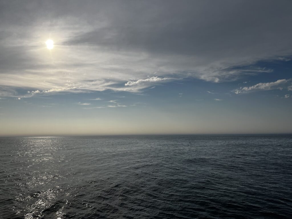
The National Oceanic and Atmospheric Administration’s (NOAA) Unique Combined Atmospheric Processing System (NUCAPS) provides critical information on temperature, moisture, ozone, and other variables that help forecasters and climate experts understand conditions throughout the atmosphere. CSS Employee Owners are key contributors to the team, supporting the development and refinement of advanced atmospheric sounding products.
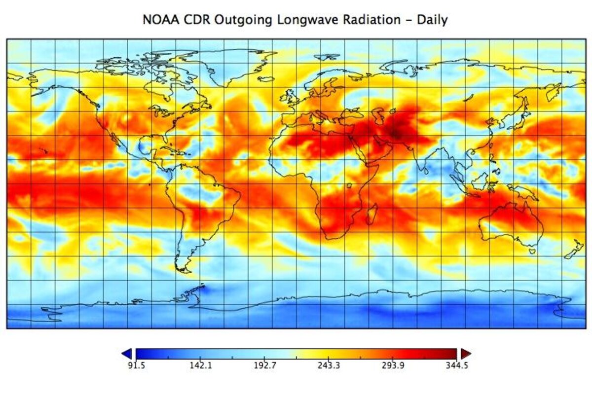
The work of CSS centers on improving the algorithm behind Outgoing Longwave Radiation, the key indicator of Earth’s energy balance and climate system. CSS supports NOAA’s Amazon Web Service cloud‑based mission‑long reprocessing efforts, ensuring continuous, accurate data records using up‑to‑date algorithms. These long‑term datasets are essential for monitoring Earth’s changing climate and supporting sustainability planning.
In addition, CSS contributes to Aerosols and Ocean Science Expedition campaigns, which include dedicated radiosonde launches over tropical oceans to validate NUCAPS temperature and humidity profiles. These observations strengthen NOAA’s ability to produce more reliable weather and climate insights.
Through this work, CSS contributions support NOAA’s mission to maintain healthy ecosystems, communities, and economies that are resilient to change, which is critical as natural disaster costs continue to climb into the tens and hundreds of billions of dollars each year. The expertise of CSS Employee Owners helps provide the foundational science behind forecasts, warnings, and climate assessments used by scientists, policymakers, and emergency managers.
See More CSS Insights
Over 2000 River and Stream Samples Analyzed
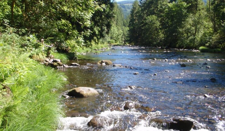
Every five years teams supporting U.S. Environmental Protection Agency’s National Aquatic Resource Survey—consisting of tribal, state, and federal partners—collect samples from over 2000 river and stream reaches throughout the United States. CSS analytical chemists support this effort by processing the samples and then analyzing them for various chemicals to help characterize their water quality. The…
Organizing Teams to Monitor Coastal Contaminants
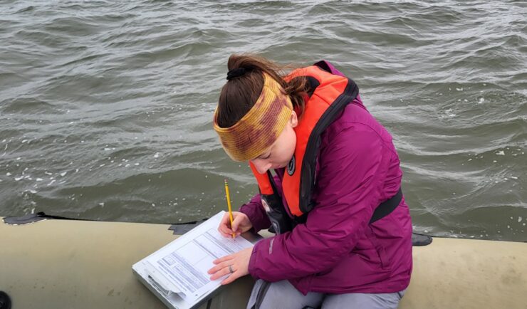
For nearly 40 years NOAA’s National Mussel Watch Program has been monitoring contaminants in coastal waters in over 400 sites around the U.S. by testing sediment and bivalves, such as oysters and mussels. A CSS employee owner organizes and coordinates the regional missions to collect and test samples. This includes developing a schedule and coordinating…

NOAA’s Updated Climate Atlas Tool is Now Live!
In the fall of 2026, NOAA released the updated Climate Atlas tool. CSS is proud to support the release of this tool, with personnel as key members of the leadership, development, and user engagement teams. Climate Atlas offers enhanced accessibility and usability for local communities, businesses, industries, and decision-makers. Reliable climate data underpins strategic planning,…