Congrats to our team supporting U.S. Environmental Protection Agency’s Office of Research and Development for completing the processing and initial chemical analyses of 1000 lake water samples! They received lake water samples from across the continental U.S. this past summer and have completed the initial chemical analyses as part of the U.S. EPA 2022 National Lake Assessment. The goal of this assessment is to provide national and regional estimates of the condition of the nation’s lakes as part of the EPA National Aquatic Resource Survey.
See More CSS Insights
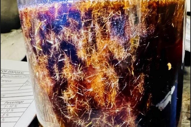
Training Staff for Handling Hazardous Waste and Responding to Chemical Spills
CSS employee owners provide on-site support to the Centers for Disease Control and Prevention (CDC) Hazardous Waste Program at several campuses around the country: Atlanta, Georgia, San Juan, Puerto Rico, and Fort Collins, Colorado. With 22 years of experience, CSS staff are responsible for providing training to laboratory and facilities staff to ensure safe handling of hazardous waste to avoid harmful…

Honoring Our Veterans
Several of our employee owners have served in various branches of the military in various capacities. Thank you for your service!

CSS Receives 10-year Renewal of the NIEHS National Toxicology Program QA Contract
CSS is pleased to announce that we have received a 10-year renewal for our contract with National Institute of Environmental Health Sciences (NIEHS) National Toxicology Program Quality Assurance. For 40 years, CSS employee owners have been providing quality assurance reviews for the NIEHS National Toxicology Program identifying inconsistencies and safeguarding data integrity across large-scale toxicology…