- Success Stories
- Environmental Resource Assessment & Management
High Resolution Land Cover Maps Now Available
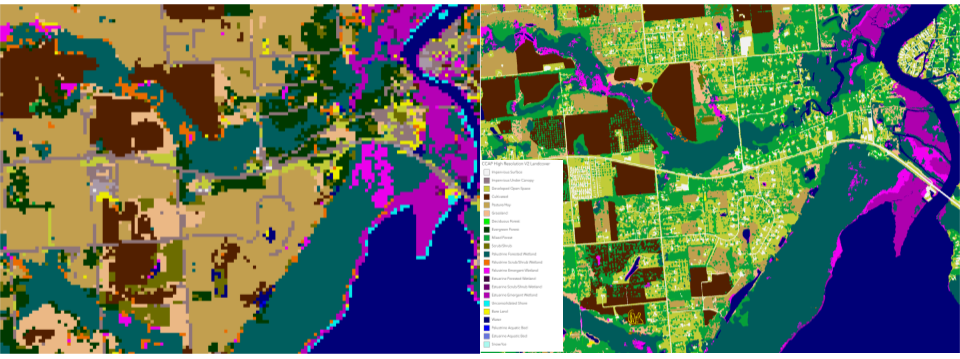
NOAA’s Office for Coastal Management has released higher resolution land cover maps for Alabama, Mississippi, Northeast Ohio, Rhode Island, and the Puget Sound in Washington.
These 1 meter data—previously only available in 30 meter—provide more detail communities need to map and understand their landscapes and features, including tree canopy, wetlands, impervious surface and several other categories. This additional detail will help inform decisions regarding stormwater management, flood mitigation, wetland restoration, and more.
CSS employee owners—subcontracted through Lynker Technologies—contributed to the release of this data set by participating in production activities and providing quality assurance/quality control checks.
Through this effort CSS employee owners help improve community resilience.
Find these new high-resolution land cover data through NOAA’s Digital Coast.
See More CSS Insights

55 Years of Earth Day!
Since April 22, 1970 — that’s 55 years! — we’ve celebrated Earth Day to raise environmental awareness and support for environmental protection. At CSS we have a passion for the environment and through various government contracts, we work with our clients to overcome challenges to help protect this rock we call home. Below are a…

Ensuring Safety and Support for Sample Testing on the International Space Station
The International Space Station (ISS) gives scientists the opportunity to study the effects of space travel on human and plant tissues as well as understand how physical materials react during formation or exposure to a microgravity environment. CSS provides integrative expertise to NASA to support research and development and technology demonstrations conducted on the ISS,…
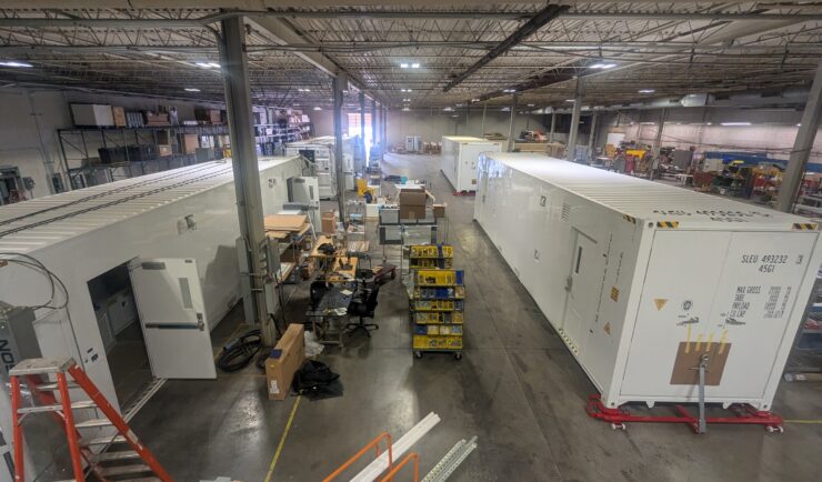
Assisting with Design and Validation of Mobile Chemical Analysis Laboratory
Portable High-throughput Integrated Laboratory Identification System (PHILIS) is the Environmental Protection Agency’s (EPA) suite of mobile laboratories designed to provide on-site analysis of chemical agents. CSS employee owners support the PHILIS team with on-site responses and chemical analysis. CSS PHILIS teams recently supported the technical design and integration of state-of-the-art emergency response mobile laboratory units engineered for the rapid detection and quantification of hazardous materials. CSS PHILIS teams in…