- Success Stories, Uncategorized
- Satellite Science & Environmental Intelligence
Providing Data Products for More Effective Consumption
The National Oceanic and Atmospheric Administration’s (NOAA) National Centers for Environmental Information (NCEI) is responsible for providing data, products, and services that help businesses and organizations operate more efficiently and effectively. As such, these data and products need to be available in a publicly accessible and digestible format the audience are able to understand.
To aid in this effort, CSS employee owners (formerly Riverside employees) support the NCEI Industry Proving Ground User Engagement task by perform a variety of science and development activities that include
- assembling and maintaining vertically integrated, quality assured instrumental datasets that service the needs of targeted stakeholder communities and commercial sectors
- creating homogenized instrumental datasets that contain adjustments to account for the impact of non-climatic factors (e.g., changes in station location or satellite sensor) in the historical record
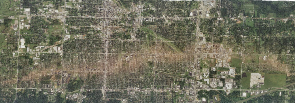
- developing gridded products that provide a high-resolution, temporally consistent analysis of environmental parameters (e.g., temperature, drought) from an integration of multiple data types (e.g., in situ, radar, reanalysis, satellite, socioeconomic)
- generating point-based and gridded products that depict averages (e.g., normals, typical meteorological year) and extremes (e.g., the intensity, duration, and frequency of rare events such as heat, floods, and hail) at multiple scales
- incorporating atmospheric, coastal, oceanic, geophysical, reanalysis, and socioeconomic data streams into NCEI’s suite of climate monitoring services, including the monthly reports and related web applications
- expanding the mapping content and analysis capabilities of NCEI’s climate monitoring web applications (e.g., the U.S. Climate Atlas, Drought Termination and Amelioration Tool, the National Temperature and Precipitation Maps tool) to better meet the needs of users
In addition, CSS employee owners supporting this task work directly with partners in retail, reinsurance, and architecture and engineering to make NOAA’s climate and environmental data more usable and impactful. The CSS team focuses on engaging with users to understand their needs, co-developing tools and products that help them make smarter decisions and modernize systems to better support climate resilience. The end goal is to ensure the data NCEI delivers is useful, actionable, and truly supports the people and industries they serve.

See More CSS Insights

1000 Samples of Lake Water Collected and Processed
Congrats to our team supporting U.S. Environmental Protection Agency’s Office of Research and Development for completing the processing and initial chemical analyses of 1000 lake water samples! They received lake water samples from across the continental U.S. this past summer and have completed the initial chemical analyses as part of the U.S. EPA 2022 National…

Over 40 Years of Support
Since 1982, members of our staff have supported EPA’s Office of Pesticide Programs. As part of this contract, our staff assess environmental and human health impacts on anthropogenic chemicals. The agricultural industry is critical to food and textile production, it is a large contributor to the U.S. economy. Not only does the industry provide food…

An Approach to Assessing Laboratory Space
CSS employee owners were part of a team of scientists at the National Institutes of Health who developed an approach to evaluating new laboratory space to determine if the space will fit operational needs. This concept, titled The BaseLINE Approach, combines traditional safety processes with additional safety and environmental factors to assess before operations begin.…