- Success Stories
- Environmental Resource Assessment & Management
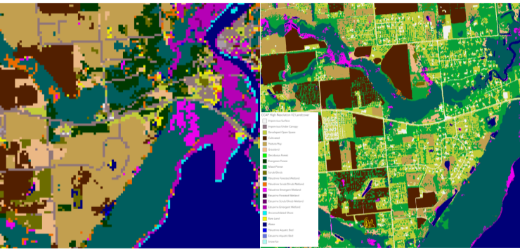
High Resolution Land Cover Maps Now Available
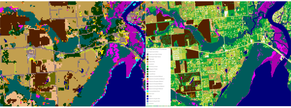
NOAA’s Office for Coastal Management has released higher resolution land cover maps for Alabama, Mississippi, Northeast Ohio, Rhode Island, and the Puget Sound in Washington.
These 1 meter data—previously only available in 30 meter—provide more detail communities need to map and understand their landscapes and features, including tree canopy, wetlands, impervious surface and several other categories. This additional detail will help inform decisions regarding stormwater management, flood mitigation, wetland restoration, and more.
CSS employee owners—subcontracted through Lynker Technologies—contributed to the release of this data set by participating in production activities and providing quality assurance/quality control checks.
Through this effort CSS employee owners help improve community resilience.
Find these new high-resolution land cover data through NOAA’s Digital Coast.
See More CSS Insights
High Resolution Land Cover Maps Now Available
NOAA’s Office for Coastal Management has released higher resolution land cover maps for Alabama, Mississippi, Northeast Ohio, Rhode Island, and the Puget Sound in Washington. These 1 meter data—previously only available in 30 meter—provide more detail communities need to map and understand their landscapes and features, including tree canopy, wetlands, impervious surface and several other categories. This additional detail will help inform decisions regarding stormwater management, flood mitigation, wetland restoration, and more. CSS employee owners—subcontracted through Lynker Technologies—contributed to the release of this…
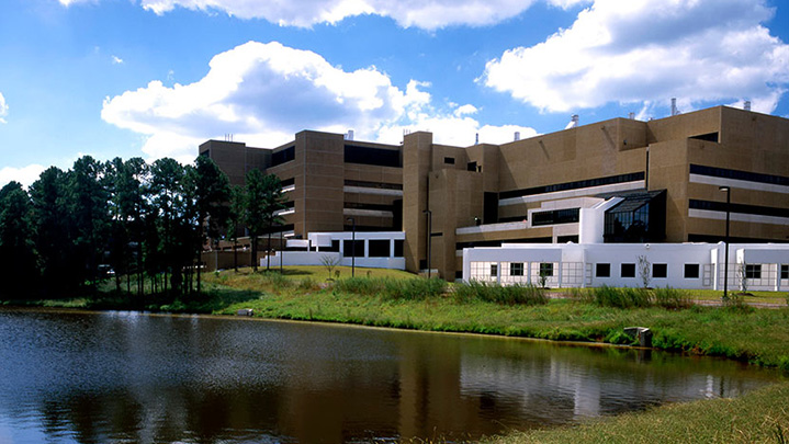
Quality Assurance Audit Reports
Since 1985 we’ve supported the National Institute of Environmental Health Sciences and have provided more than 1,600 quality assurance audit reports that the client has used to assess the quality of toxicology studies they sponsor. Over the last year our employee owners reviewed several studies involving per- and polyfluorinated substances (PFAS) compounds, or “forever chemicals”,…
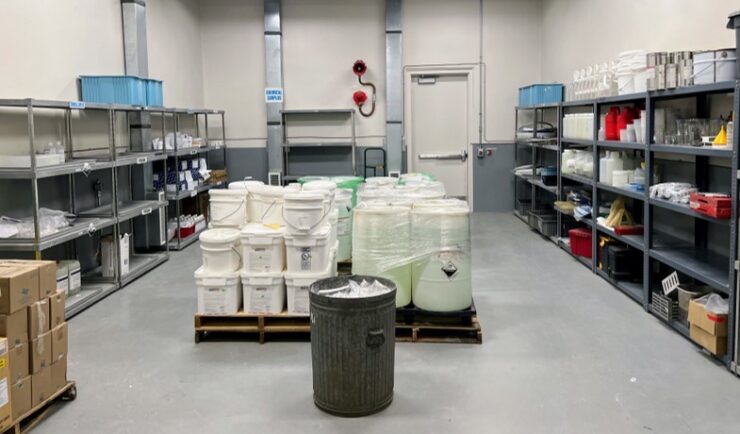
Extensive Support in Hazard Waste Management
For 22 years, CSS has provided support to the Centers for Disease Control and Prevention (CDC) Hazardous Waste Program ensuring safe handling, storage, packing, and shipping of hazardous waste materials within facilities and laboratories. Experienced CSS employees are located on site at CDC campuses in Atlanta, Georgia, San Juan, Puerto Rico, and Fort Collins, Colorado and are responsible for collecting waste on a weekly schedule and disposing of waste at various campuses on an annual…