
- Success Stories
- Satellite Science & Environmental Intelligence
Atmospheric Processing System Support
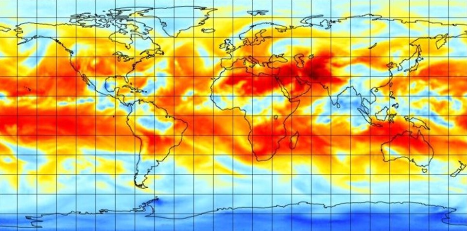
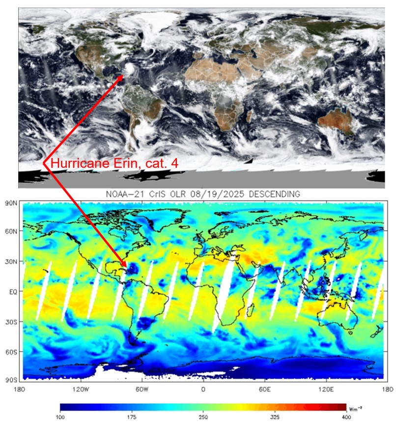
The NOAA Unique Combined Atmospheric Processing System (NUCAPS) is an operational retrieval algorithm that NOAA’s National Environmental Satellite, Data, and Information Services has been using since 2002. This system generates near real-time atmospheric profiles of temperature, water vapour, and trace gases, as well as Outgoing Longwave Radiation (OLR) needed for weather forecasting. CSS Remote Sensing Scientist supporting the STC Atmospheric Science and Technology Applications team provides science, programming, and algorithm development support for this system.
Major tasks for this effort include
- Outgoing Longwave Radiation – the longwave radiation emitted to space from the top of Earth’s atmosphere.
- AWS cloud-based mission-long reprocessing – one-stop place to access all NUCAPS products
- AEROSE field campaigns – collect and analyze atmospheric temperature, water vapour and ozone profiles, as well as aerosol optical depth and its origins.
For each of these tasks, the CSS remote sensing scientist’s contributions further develop and maintain these critical operations necessary for accurately forecasting and characterization of potentially dangerous weather events.
See More CSS Insights
Evaluating the Use of Earth Observations Digital Twin Technologies
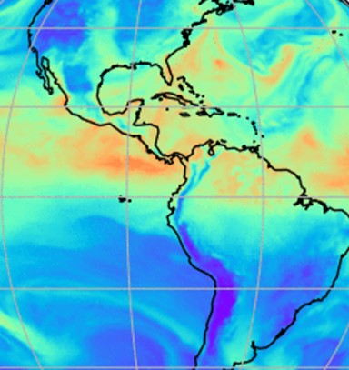
Earth Observations Digital Twin technologies are data analytics, artificial intelligence, and advanced modeling technologies that provide an estimate of the true state of the Earth. An Earth Systems Digital Twin is observations-based and grid-flexible with multiple components and high-resolution data over space and time to capture all available observations and feed a variety of direct…
Supporting the Launch of NOAA Data to Inform More Resilient Infrastructure Designs and Structures
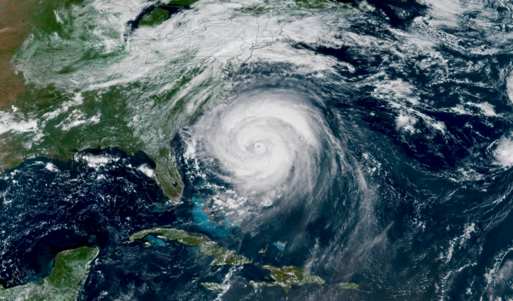
Congratulations to NOAA for launching their new Typical Meteorological Year product, developed by the National Centers for Environmental Information (NCEI) as part of the industry initiative. This effort helps make environmental data actionable for architects and engineers designing the next generation of resilient infrastructure. CSS is proud to support this effort and our employee owners who contributed to this product. The Typical Meteorological Year (TMY) product provides location-specific…
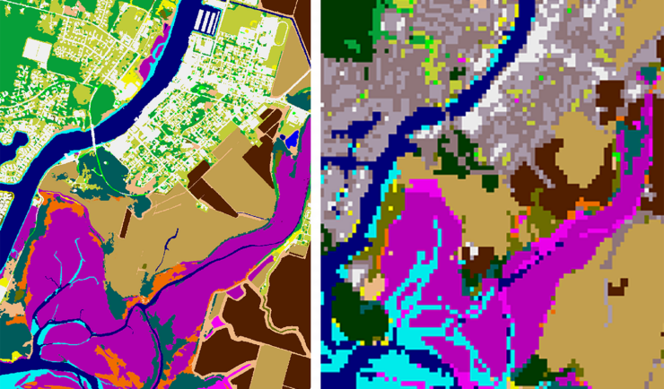
New Heavily Desired High Resolution Land Cover Data for the U.S.
The National Oceanic and Atmospheric Administration recently announced the launch of the long desired high-resolution coastal land cover data. This highly anticipated data are available for most coastal areas of the U.S., including Alaska and the U.S. territories. CSS employee owners contributed to the release of this data set by participating in production activities and…