
We’re honored to be the recipient of the Gov Business Review Science-Based Solution Company of the Year award for 2025!
Gov Business Review recognizes our company for our extensive science expertise in working with over two dozen federal agencies and our growing client list with commercial industries, expanding from the depths of the ocean to supporting space science. This article draws specific attention to our expanding space science portfolio supporting NASA and NOAA Satellites as well as our growing experience in using AI to execute a variety of client tasks.
We’re proud to be receiving this award.
See More CSS Insights
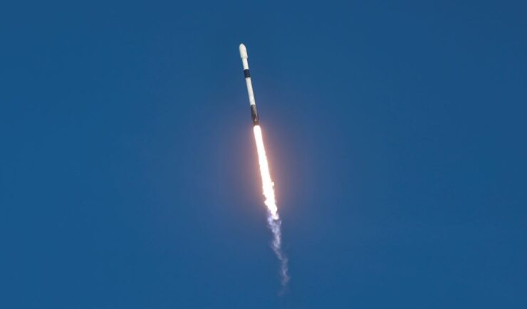
Preparing and Delivering Samples for Travel to the International Space Station
CSS employee owners on contract with NASA delivered six newly prepared Solidification Using a Baffle in Sealed Ampoules (SUBSA)—a high temperature furnace with temperature and timing control for melting samples to create different materials and alloys—samples for the NG-23 launch, which took place on September 14, 2025. On this mission, samples are being delivered for…
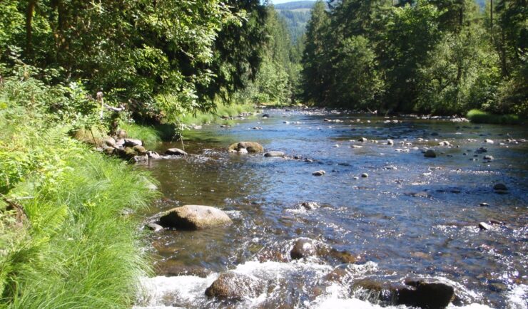
Developing a Stream Assessment Protocol
CSS has been a significant contributor to the development and implementation of the Oregon Stream Function Assessment Method (SFAM) for more than 10 years. SFAM is a key component of the Oregon Stream Mitigation Program administered by the Oregon Department of State Lands. The mitigation program is designed to address damage to aquatic resources caused…
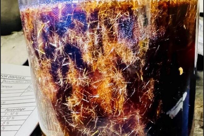
Training Staff for Handling Hazardous Waste and Responding to Chemical Spills
CSS employee owners provide on-site support to the Centers for Disease Control and Prevention (CDC) Hazardous Waste Program at several campuses around the country: Atlanta, Georgia, San Juan, Puerto Rico, and Fort Collins, Colorado. With 22 years of experience, CSS staff are responsible for providing training to laboratory and facilities staff to ensure safe handling of hazardous waste to avoid harmful…