
- Success Stories, Uncategorized
- Environmental Resource Assessment & Management
Over 2000 River and Stream Samples Analyzed

Every five years teams supporting U.S. Environmental Protection Agency’s National Aquatic Resource Survey—consisting of tribal, state, and federal partners—collect samples from over 2000 river and stream reaches throughout the United States. CSS analytical chemists support this effort by processing the samples and then analyzing them for various chemicals to help characterize their water quality. The data are available at the U.S. EPA National Aquatic Resource Survey website where more information is provided on this program.
See More CSS Insights
Monitoring Algal Blooms for Harmful Toxins
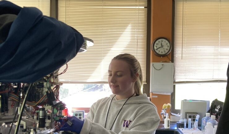
CSS employee owners support NOAA’s National Centers for Coastal Ocean Science (NCCOS) Harmful Algal Blooms (HAB) Sensor Development Team in their efforts to detect and monitor these harmful algal blooms in coastal waters where they are likely to occur. HAB monitoring is critical for detecting harmful toxins produced by some algae. When present in over…

1000 Samples of Lake Water Collected and Processed
Congrats to our team supporting U.S. Environmental Protection Agency’s Office of Research and Development for completing the processing and initial chemical analyses of 1000 lake water samples! They received lake water samples from across the continental U.S. this past summer and have completed the initial chemical analyses as part of the U.S. EPA 2022 National…

Standard Guidelines for Evaluating Construction Safety and Health
Safety is of the utmost importance in new construction or renovations. CSS employee owners, supporting the National Institutes of Health (NIH) BaseLINE program helped develop and implement a proactive approach to evaluating safety and health conditions in newly constructed and renovated spaces before occupancy. The NIH BaseLINE program, Building Assessment of Safety Elements (Base) Lighting, Indoor air quality, Noise, Ergonomics (LINE), is a systematic readiness and safety assessment survey used for newly…