- Community Spotlight
- Environmental Resource Assessment & Management
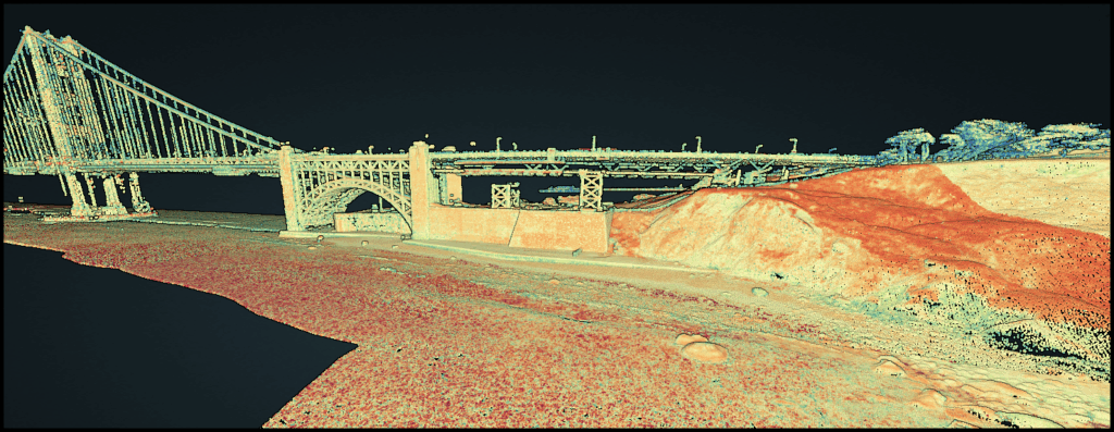
Developing and Managing Lidar Data
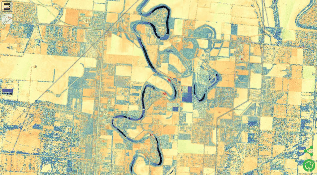
For over five years CSS employee owners have supported NOAA’s Digital Coast data development and management, training development and delivery, and tool development and management through our subcontract with Lynker Technologies supporting NOAA’s Office for Coastal Management. As part of this effort, CSS employee owners process lidar data from many sources to make it available for custom and bulk downloads from the NOAA Data Access Viewer. This involves ensuring data quality and consistency and preparing the data for dissemination. The end goal is to provide elevation data users with the data they need to make the best decisions for coastal mapping and management efforts.
See More CSS Insights
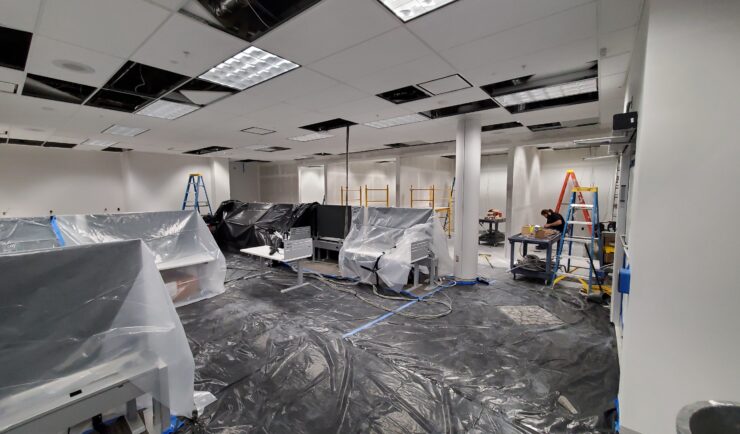
Custom Support to Space Florida
Our team recently reconfigured the office space and network for an incoming Space Life Science Lab tenant, Vaxxinity. This work included major renovations to the lab and office space, and new cable runs for their modified space. The team completed this large task within a four week period! Our Florida IT group works closely with…
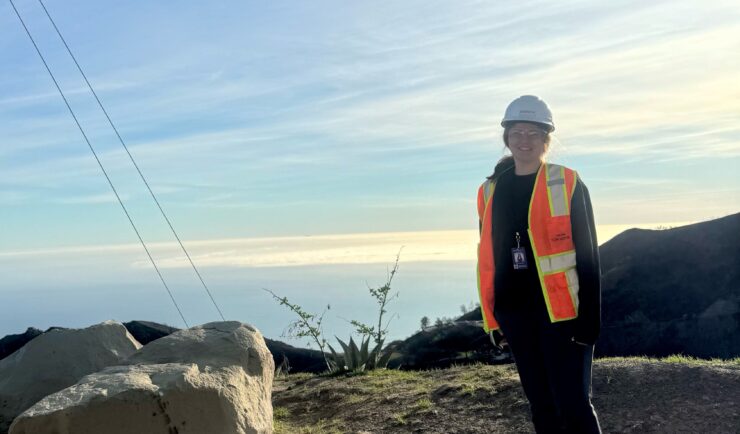
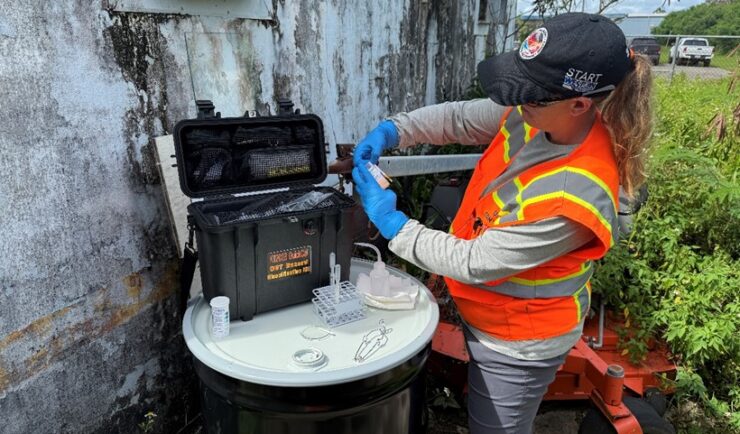
Supporting Response Efforts Following California Fires
Following the fires that devastated Los Angeles, California and surrounding areas in January 2025, CSS employee owners were deployed to the area as a subcontractor to Weston Solutions, Inc. to assist with the response. This effort supports U.S. Environmental Protection Agency (EPA) Region 9 Superfund Technical Assessment & Response Team (START) program. Initially, a CSS…
Supporting Guam’s Chemical Round Up
Senior chemist working on the CSS contract with the Environmental Protection Agency’s (EPA) Superfund Technical Assessment and Response Team (START) supported the Guam Lab Chemicals Round Up in March of 2024 and July of 2025. During both mobilizations, START supported EPA’s mission to collect chemical waste items from across the U.S. island territory of Guam for off-island transport and disposal. As a field chemist, CSS employee…