
Our employee owners have been supporting a remediation project in the Philippines. Diesel fuel leaked from a storage tank and seeped into the groundwater and soil. Emergency measures were taken but clean-up was delayed due to COVID restrictions. After some of the more strict COVID restrictions were lifted, CSS scientists joined the environmental due diligence crew to continue the assessment and start the remediation process. Our experienced team provided consulting services, and assisted with groundwater and soil sample collection and testing. Currently, our team is assisting with bringing this project to the finish line, which will be a major accomplishment given the delays and challenges, including cultural differences, heightened security, the remote location, and continued COVID restrictions.

The tank farm where the leak occurred in the Philippines.

Groundwater sample with visible diesel fuel collected near the tank farm.

Soil sample collected near the tank farm where the diesel leak occurred.
See More CSS Insights
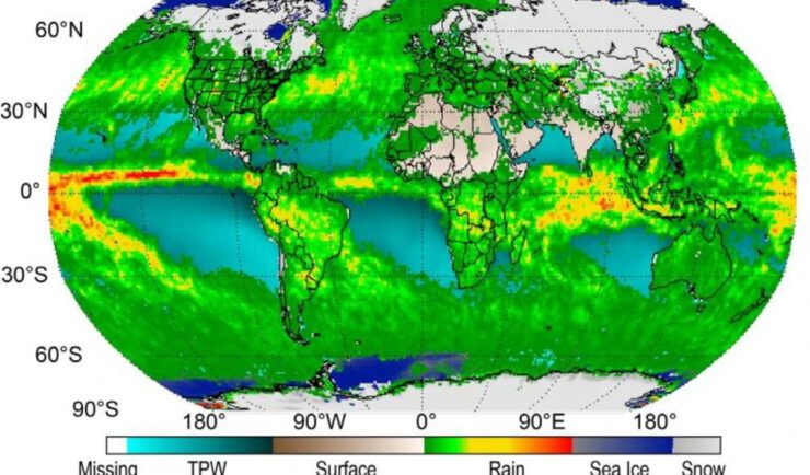
Securing and Modernizing NOAA’s Climate Data Records
NOAA’s National Centers for Environmental Information is currently migrating their monumental archives from physical data centers onto the secure Amazon Web Services (AWS) cloud, a massive undertaking to ensure these critical records remain secure. NOAA selected a CSS employee owner and program manager for Climate Data Records as a division representative for the high-stakes Data Ingest and Migration team to coordinate directly with technical experts. As part of this role, the CSS representative is also serving…
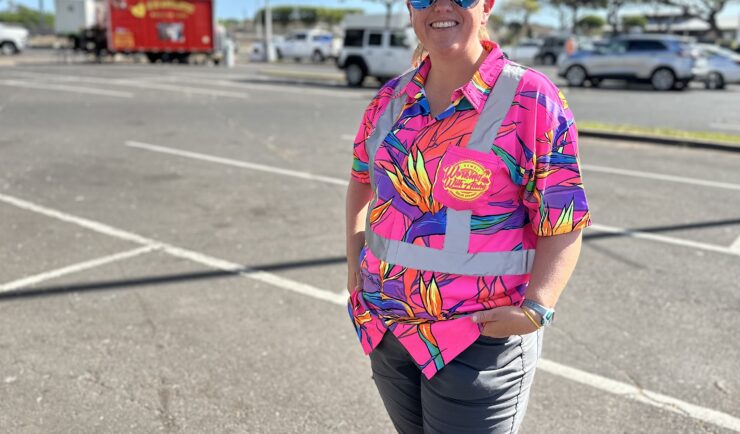
Assisting With Maui Wildfire Recovery
As part of our support to U.S. Environmental Protection Agency (EPA) Region 9 Superfund Technical Assessment & Response Team (START)—for which we are subcontracted through Weston Solutions, Inc.—CSS employee owners have been on-site in three-week rotations to assist throughout the rigorous recovery process.
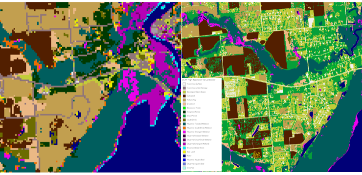
High Resolution Land Cover Maps Now Available
NOAA’s Office for Coastal Management has released higher resolution land cover maps for Alabama, Mississippi, Northeast Ohio, Rhode Island, and the Puget Sound in Washington. These 1 meter data—previously only available in 30 meter—provide more detail communities need to map and understand their landscapes and features, including tree canopy, wetlands, impervious surface and several other categories. This additional detail will help inform decisions regarding stormwater management, flood mitigation, wetland restoration, and more. CSS employee owners—subcontracted through Lynker Technologies—contributed to the release of this…