- Success Stories, Uncategorized
- Satellite Science & Environmental Intelligence
Engaging in New and Emergent Satellite Technologies
CSS employee owners (formerly Riverside employees) support the National Oceanic and Atmospheric Administration’s (NOAA) National Environmental Satellite, Data, and Information Service’s (NESDIS) Center for Satellite Applications and Research (STAR). STAR is the science arm of NESDIS, which acquires and manages the nation’s environmental satellites for NOAA. Satellite observations are critical to informing situational awareness and numerical weather prediction applications. These applications provide guidance to users and stakeholders on environmental threats at multiple timescales, from current analyses to medium-range and seasonal-to-subseasonal lead times.
As a subtask, CSS employee owners support the NESDIS Research and Technology Maturation for Exploitation of Emerging Technology (RTMEE). Objectives for this task are to ensure STAR is engaged in new emerging technologies, numerical techniques, new observing systems and in supporting next-generation systems, to keep all aspects of STAR activities relevant for the future. This is achieved by undertaking research and technology maturation activities that will transition to supporting mission activities and advanced programs in NOAA. The work will ensure that the quality of the data produced by NOAA meet or exceed international standards.

For their role, CSS employee owners supporting RTMEE are responsible for collaborating with NESDIS Systems Architecture and Engineering (SAE) and STAR staff to explore new technologies in support of NOAA’s mission. CSS leverages SAE and STAR expertise in satellite data and applications required to address the needs of data exploitation, validation, verification, and quality and impact assessment opportunities. CSS supports the advancement of NOAA’s observational and data system capabilities with both internal and external NOAA partners and demonstrates the value of artificial intelligence to efficiently exploit the information content of microwave sensor concepts and quantify the impact on NOAA systems. In addition, we support the evaluation and exploitation of 3D-wind measurements to help determine the impact of the potential deployment of new types of satellite sensors dedicated to filling gaps to improve the quality of weather and climate data.
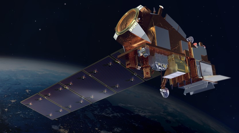
Feature photo credit: Artist rendering of NOAA 21 satellite (credit: NOAA)
See More CSS Insights
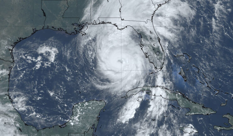
Hurricane Helene One Year Later: Shedding Light on the Impact
It’s been one year since Hurricane Helene caused catastrophic damage throughout the southern Appalachia region, especially Tennessee and North Carolina, where several rivers experienced above-record flooding. CSS employee owners (previously Riverside Technology, inc.) supporting NOAA’s National Centers for Environmental Information (NCEI) helped develop a Hurricane Helene StoryMap, Helene in Southern Appalachia, a dynamic tool that integrates diverse…
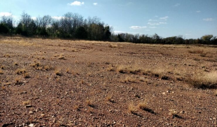
Remediating Soil Surrounding Abandoned Mines
CSS employees have been providing field, lab, and horticultural support for the Environmental Protection Agency’s efforts to develop and test methods for the remediation and revegetation of contaminated soils around selected abandoned mines in the western United States. One of the promising approaches is to incorporate biochar into the soil. Using biochar helps effectively adsorb trace metals and reduce their…
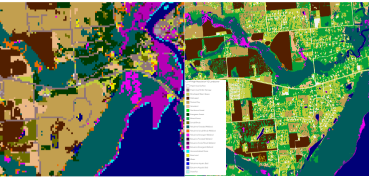
High Resolution Land Cover Maps Now Available
NOAA’s Office for Coastal Management has released higher resolution land cover maps for Alabama, Mississippi, Northeast Ohio, Rhode Island, and the Puget Sound in Washington. These 1 meter data—previously only available in 30 meter—provide more detail communities need to map and understand their landscapes and features, including tree canopy, wetlands, impervious surface and several other categories. This additional detail will help inform decisions regarding stormwater management, flood mitigation, wetland restoration, and more. CSS employee owners—subcontracted through Lynker Technologies—contributed to the release of this…