- Success Stories, Uncategorized
- Satellite Science & Environmental Intelligence
Engaging in New and Emergent Satellite Technologies
CSS employee owners (formerly Riverside employees) support the National Oceanic and Atmospheric Administration’s (NOAA) National Environmental Satellite, Data, and Information Service’s (NESDIS) Center for Satellite Applications and Research (STAR). STAR is the science arm of NESDIS, which acquires and manages the nation’s environmental satellites for NOAA. Satellite observations are critical to informing situational awareness and numerical weather prediction applications. These applications provide guidance to users and stakeholders on environmental threats at multiple timescales, from current analyses to medium-range and seasonal-to-subseasonal lead times.
As a subtask, CSS employee owners support the NESDIS Research and Technology Maturation for Exploitation of Emerging Technology (RTMEE). Objectives for this task are to ensure STAR is engaged in new emerging technologies, numerical techniques, new observing systems and in supporting next-generation systems, to keep all aspects of STAR activities relevant for the future. This is achieved by undertaking research and technology maturation activities that will transition to supporting mission activities and advanced programs in NOAA. The work will ensure that the quality of the data produced by NOAA meet or exceed international standards.

For their role, CSS employee owners supporting RTMEE are responsible for collaborating with NESDIS Systems Architecture and Engineering (SAE) and STAR staff to explore new technologies in support of NOAA’s mission. CSS leverages SAE and STAR expertise in satellite data and applications required to address the needs of data exploitation, validation, verification, and quality and impact assessment opportunities. CSS supports the advancement of NOAA’s observational and data system capabilities with both internal and external NOAA partners and demonstrates the value of artificial intelligence to efficiently exploit the information content of microwave sensor concepts and quantify the impact on NOAA systems. In addition, we support the evaluation and exploitation of 3D-wind measurements to help determine the impact of the potential deployment of new types of satellite sensors dedicated to filling gaps to improve the quality of weather and climate data.
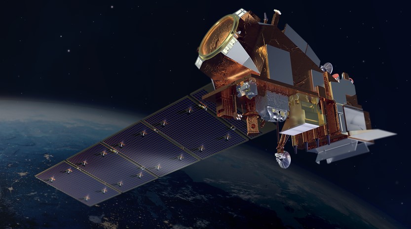
Feature photo credit: Artist rendering of NOAA 21 satellite (credit: NOAA)
See More CSS Insights
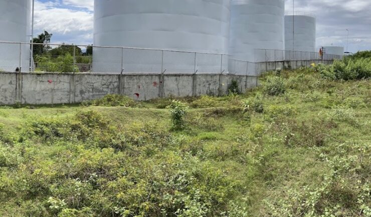
Diesel Leak Remediation
Our employee owners have been supporting a remediation project in the Philippines. Diesel fuel leaked from a storage tank and seeped into the groundwater and soil. Emergency measures were taken but clean-up was delayed due to COVID restrictions. After some of the more strict COVID restrictions were lifted, CSS scientists joined the environmental due diligence…
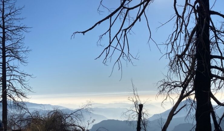
Monitoring Air Quality in California’s San Joaquin Valley
CSS employee owners supported the deployment and operation of the U.S. Environmental Protection Agency (EPA) air quality monitoring trailer (WEAVE COM – Western Enhanced Air quality VEhicle for COmmunity Monitoring) in California’s San Joaquin Valley in during late fall and early winter of 2024. Elevated particulate matter (PM2.5) is frequently found throughout the valley during…

1000 Samples of Lake Water Collected and Processed
Congrats to our team supporting U.S. Environmental Protection Agency’s Office of Research and Development for completing the processing and initial chemical analyses of 1000 lake water samples! They received lake water samples from across the continental U.S. this past summer and have completed the initial chemical analyses as part of the U.S. EPA 2022 National…