- Success Stories
- Environmental Resource Assessment & Management
New Heavily Desired High Resolution Land Cover Data for the U.S.
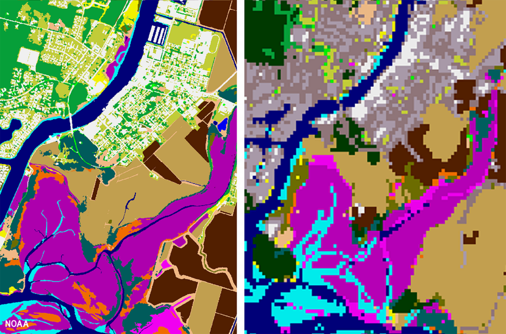
The National Oceanic and Atmospheric Administration recently announced the launch of the long desired high-resolution coastal land cover data. This highly anticipated data are available for most coastal areas of the U.S., including Alaska and the U.S. territories.
CSS employee owners contributed to the release of this data set by participating in production activities and providing quality assurance/quality control checks. In addition, the team has been presenting workflow processes and outputs, on-the-ground applications, and associated benefits of the data at conferences and to partners.
As part of this effort, CSS staff developed ESRI ArcGIS image services and a story map to facilitate distribution and understanding of the data. Following the NOAA press release, the land cover project team manager received an influx of questions expressing confusion regarding the data. CSS staff were tasked with rapidly developing this story map to better explain the points of confusion and direct users to the data download site. Staff completed this task within three business days of being assigned.
Previously, coastal land cover data was widely available at a 30-meter resolution. This new data is a 1-meter resolution product, which communities can use to improve sea level rise projections, protect communities from flooding, inform wetland restoration projects, and more. This is an especially important data set for Alaska, which has previously not had widespread land cover data available. Due to the costly nature of this high-resolution data, it was previously unobtainable for communities that couldn’t provide funding. Thanks to funding from the Bipartisan Infrastructure Law, NOAA was able to provide this data at a much larger scale.
Download the new high-resolution coastal land cover data through NOAA’s Digital Coast website,

See More CSS Insights
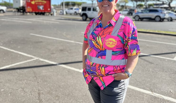
Assisting With Maui Wildfire Recovery
As part of our support to U.S. Environmental Protection Agency (EPA) Region 9 Superfund Technical Assessment & Response Team (START)—for which we are subcontracted through Weston Solutions, Inc.—CSS employee owners have been on-site in three-week rotations to assist throughout the rigorous recovery process.
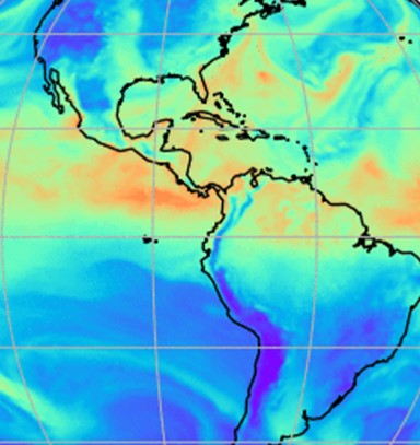
Evaluating the Use of Earth Observations Digital Twin Technologies
Earth Observations Digital Twin technologies are data analytics, artificial intelligence, and advanced modeling technologies that provide an estimate of the true state of the Earth. An Earth Systems Digital Twin is observations-based and grid-flexible with multiple components and high-resolution data over space and time to capture all available observations and feed a variety of direct…
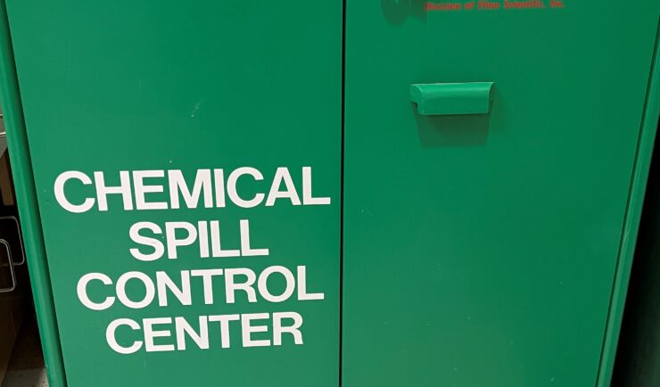
Employees Receive Green Sustainability Award of Excellence
Congratulations to our team supporting the Center for Disease Control (CDC) for receiving the Green Sustainability Award of Excellence. Our team led the charge helping CDC to upgrade their spill cabinets across all campuses (Atlanta, GA; Fort Collins, CO; San Juan, PR), which now include a more sustainable material called Trivorex ®. This highly absorbent…