- Community Spotlight, Success Stories, Uncategorized
- Satellite Science & Environmental Intelligence
Evaluating the Use of Earth Observations Digital Twin Technologies
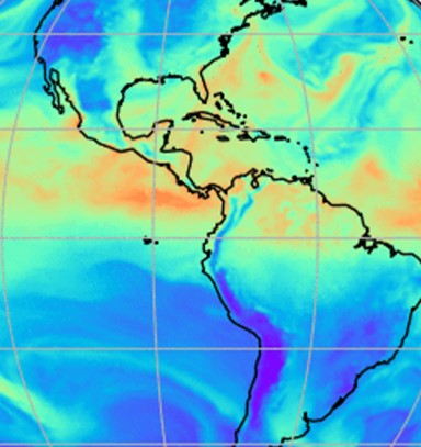
Earth Observations Digital Twin technologies are data analytics, artificial intelligence, and advanced modeling technologies that provide an estimate of the true state of the Earth. An Earth Systems Digital Twin is observations-based and grid-flexible with multiple components and high-resolution data over space and time to capture all available observations and feed a variety of direct observations to users. Adding or removing data is flexible, cost-efficient, and agile with fast processing. NOAA’s National Environmental Satellite, Data, and Information Service (NESDIS) is exploring the use of this technology.
Through their joint venture program, they contracted three companies to each developed a prototype to explore this technology. CSS employee owners (formerly Riverside staff) were responsible for evaluating these prototypes. Our staff evaluated the code for each Earth Observations Digital Twin prototype and explored using them for enhancing the ability to process, monitor, quality-control, consolidate, fuse, and assimilate environment observations and streamline the satellite data ground processing. Our staff provided feedback and recommendations to NESDIS regarding the validity and integrity of using an Earth Observations Digital Twin, and whether or not they could be used for potential future applications.

Learn more about how NESDIS is exploring the use of Earth Observations Digital Twin.
See More CSS Insights
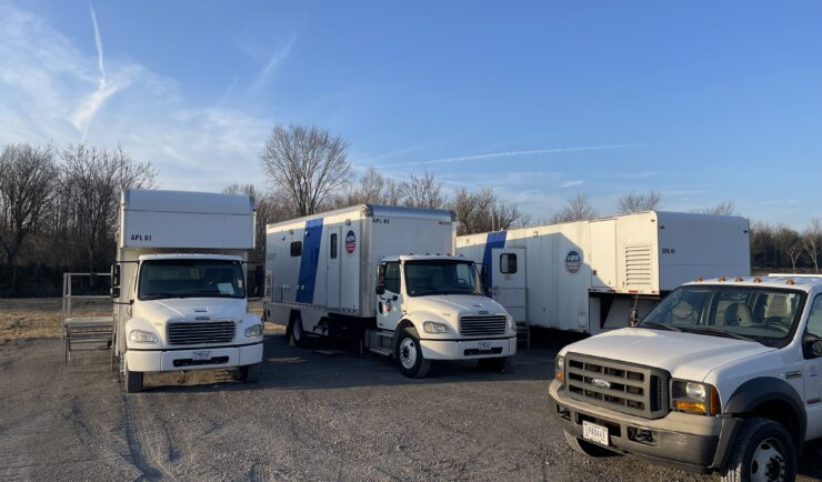
Continued Analysis of Contaminants from East Palestine Train Derailment
In February 2023, a freight train carrying hazardous materials derailed in East Palestine, Ohio spilling chemicals that contaminated surrounding soil, water, and the air. Several Portable High-throughput Integrated Laboratory Identification Systems (PHILIS) – the U.S. Environmental Protection Agency’s (EPA) suite of mobile laboratories designed to provide on-site analysis of chemical agents – and staff were mobilized to the site following the accident to conduct analysis of various contaminated media. The CSS…
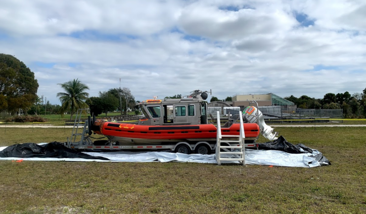
Large-Scale Decontamination Proves Successful
In the spring of 2022, we worked with the U.S. Environmental Protection Agency and the U.S. Coast Guard on a project called Analysis for Coastal Operational Resiliency-Wide Area Demonstration (WAD) which tests large scale decontamination following the release of surrogate bioagents. The team conducted a WAD at a military base in Virginia to test decontamination…
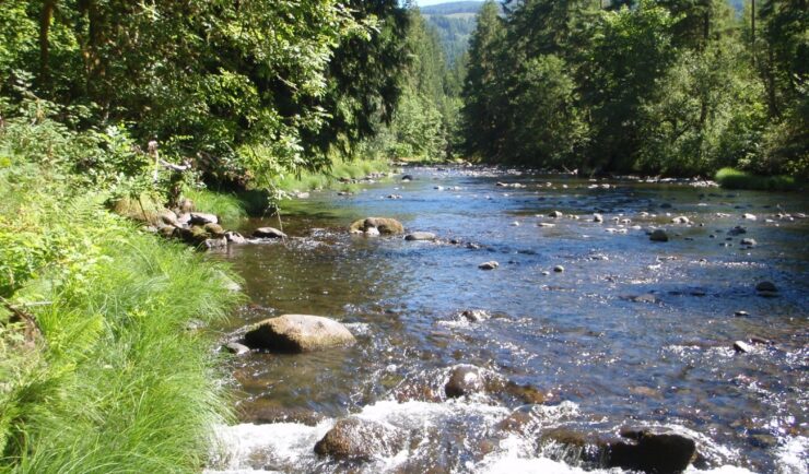
Developing a Stream Assessment Protocol
CSS has been a significant contributor to the development and implementation of the Oregon Stream Function Assessment Method (SFAM) for more than 10 years. SFAM is a key component of the Oregon Stream Mitigation Program administered by the Oregon Department of State Lands. The mitigation program is designed to address damage to aquatic resources caused…