
- Success Stories
- Environmental Resource Assessment & Management
High Resolution Land Cover Maps Now Available
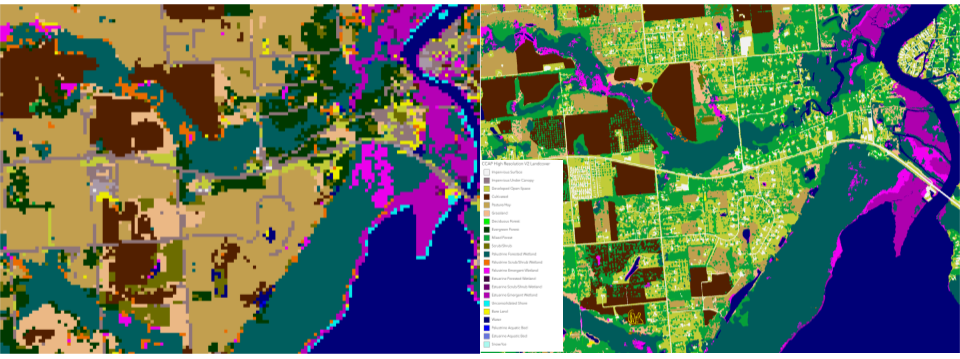
NOAA’s Office for Coastal Management has released higher resolution land cover maps for Alabama, Mississippi, Northeast Ohio, Rhode Island, and the Puget Sound in Washington.
These 1 meter data—previously only available in 30 meter—provide more detail communities need to map and understand their landscapes and features, including tree canopy, wetlands, impervious surface and several other categories. This additional detail will help inform decisions regarding stormwater management, flood mitigation, wetland restoration, and more.
CSS employee owners—subcontracted through Lynker Technologies—contributed to the release of this data set by participating in production activities and providing quality assurance/quality control checks.
Through this effort CSS employee owners help improve community resilience.
Find these new high-resolution land cover data through NOAA’s Digital Coast.
See More CSS Insights
Installing Environmental Monitoring Stations
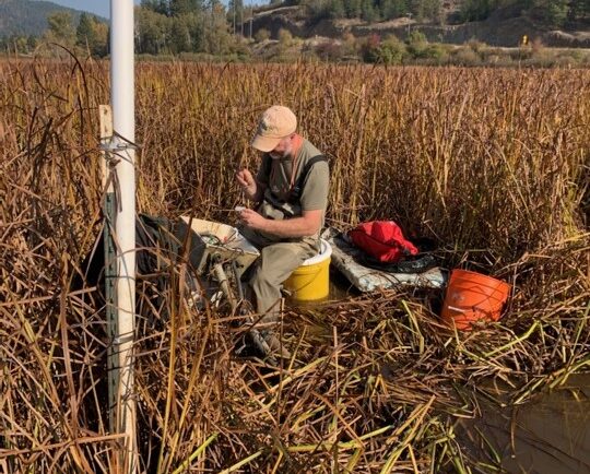
Our field crews installed/updated two environmental monitoring stations in remote locations in the Pacific Northwest. Multiple types of sensors were installed including air and soil temperature, precipitation, soil moisture and soil redox potential. These stations provide data for designing and evaluating soil remediation projects for U.S. Environmental Protection Agency’s Office of Research and Development. Installing…
CSS Employee Owners Receive NOAA Award
NOAA’s National Environmental Satellite and Data Information Service (NESDIS) recognizes the National Centers for Environmental Information Cloud Archive Team with 2026 NESDIS Outstanding Information Technology and Engineering Team Award! This award recognizes the team’s efforts to develop and deploy the Open Information Stewardship System (OISS) and create a large language model (L-OISS) that automates the generation and testing of complex archive workflows. CSS Employee Owners…
Monitoring Algal Blooms for Harmful Toxins
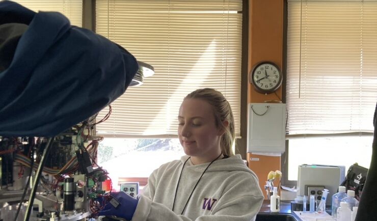
CSS employee owners support NOAA’s National Centers for Coastal Ocean Science (NCCOS) Harmful Algal Blooms (HAB) Sensor Development Team in their efforts to detect and monitor these harmful algal blooms in coastal waters where they are likely to occur. HAB monitoring is critical for detecting harmful toxins produced by some algae. When present in over…