- Success Stories
- Environmental Resource Assessment & Management
Organizing Teams to Monitor Coastal Contaminants
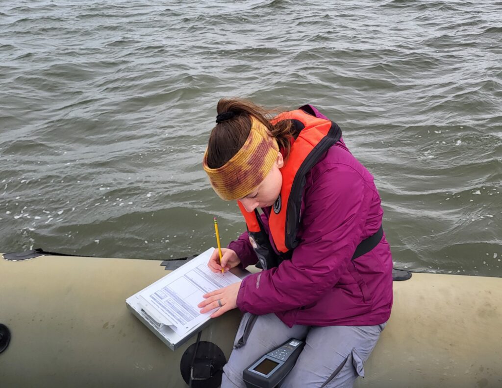
For nearly 40 years NOAA’s National Mussel Watch Program has been monitoring contaminants in coastal waters in over 400 sites around the U.S. by testing sediment and bivalves, such as oysters and mussels. A CSS employee owner organizes and coordinates the regional missions to collect and test samples. This includes developing a schedule and coordinating several teams to collect samples in different subregions for each region as well as shipping equipment and supplies needed for each of the team to carry out their tasks.
CSS employee owners work alongside federal program staff and local partners to collect samples throughout the regions. In fiscal year 2024 CSS staff deployed to the Gulf of Mexico and Pacific Ocean, which includes Alaska, Hawaii, and the West Coast. The team adds data they collect during these missions to the Coastal Pollution Data Explorer, a cloud-based ArcGIS platform that allows users to search by location or type of contaminant, generate a report, and download the data. A CSS employee owner serves as the lead developer for this online platform. Learn more about NOAA’s National Mussel Watch Program.


See More CSS Insights
New Heavily Desired High Resolution Land Cover Data for the U.S.
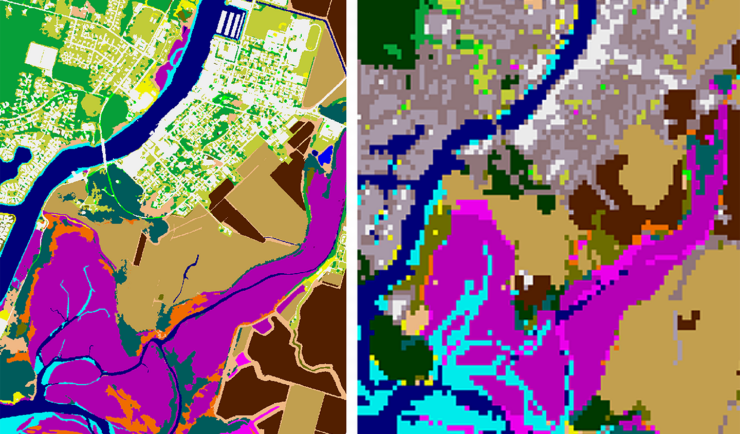
The National Oceanic and Atmospheric Administration recently announced the launch of the long desired high-resolution coastal land cover data. This highly anticipated data are available for most coastal areas of the U.S., including Alaska and the U.S. territories. CSS employee owners contributed to the release of this data set by participating in production activities and…
Over 40 Years of Support
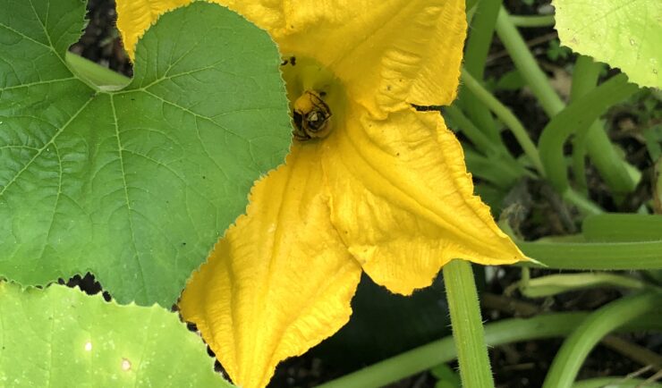
Since 1982, members of our staff have supported EPA’s Office of Pesticide Programs. As part of this contract, our staff assess environmental and human health impacts on anthropogenic chemicals. The agricultural industry is critical to food and textile production, it is a large contributor to the U.S. economy. Not only does the industry provide food…
Planning, Preparing for, and Participating in a Major Partner Workshop
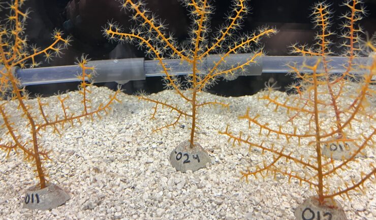
The Mesophotic and Deep Benthic Communities (MDBC) team with NOAA’s National Centers for Coastal Ocean Science attended a team meeting at the Wicker Center in Gulfport, Mississippi. CSS employee owners supporting this team (as part of our joint venture with RPI) participated in the meeting January 26-29. The objective of this workshop was for project managers, advisors, and partners to discuss 2025 accomplishments and plan next steps for 2026 and…