- CSS in the News
- Environmental Resource Assessment & Management
Providing Technical Assistance for Reporting Francis Scott Key Bridge Collapse
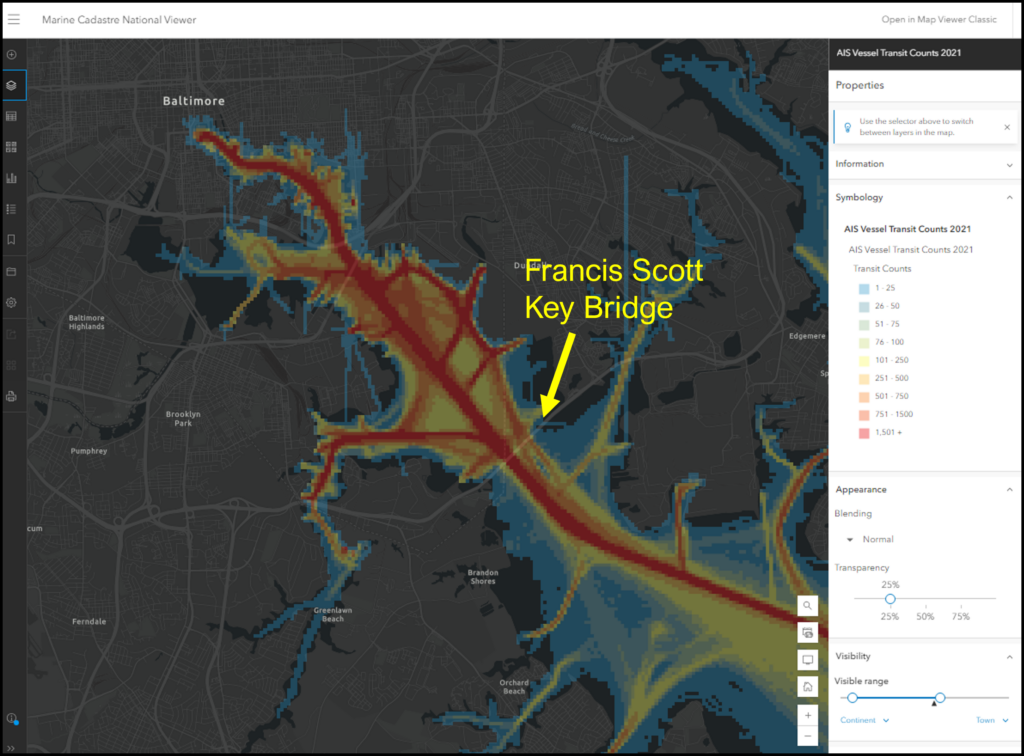
Following the Francis Scott Key Bridge collapse in March 2024, high-profile news outlet, CNN, contacted NOAA’s Office for Coastal Management seeking ship traffic data and expertise from the Marine Cadastre team. CSS employee owners supporting the Marine Cadastre project (through a subcontract with Lynker) are the team’s data experts and were the most qualified to respond to the request. They provided the most recent vessel traffic (AIS) data available for public consumption for the Baltimore Harbor and Chesapeake Bay. In addition, CSS staff provided technical assistance to help the media understand the data and the information they provide.
AIS data are collected by the U.S. Coast Guard, and transponders are required for most commercial and recreational vessels over a specific weight or length. CNN staff used the data to develop a map that demonstrates ship traffic patterns in the Baltimore Harbor along with the route of the Dali, the large container ship that collided with the bridge support causing the collapse. This information helps visualize the impact to the port that the bridge collapse has and will continue to cause as the recovery effort continues.

For many years, CSS employee owners have processed, managed, and maintained AIS data. While part of the team’s intent to incorporate the data into Marine Cadastre was originally to assist users with conflict avoidance, the team is grateful they could assist with this request.
See More CSS Insights
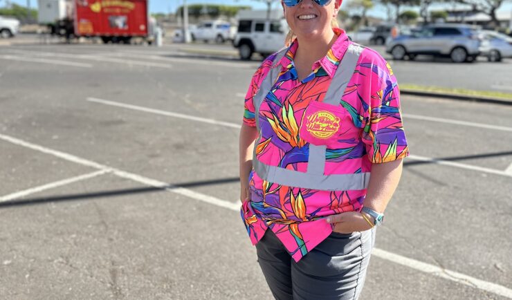
Assisting With Maui Wildfire Recovery
As part of our support to U.S. Environmental Protection Agency (EPA) Region 9 Superfund Technical Assessment & Response Team (START)—for which we are subcontracted through Weston Solutions, Inc.—CSS employee owners have been on-site in three-week rotations to assist throughout the rigorous recovery process.
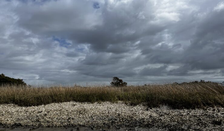
Organizing National Mussel Watch Program Sample Collection Missions
Established in 1986, NOAA’s National Mussel Watch Program has been systematically monitoring nearly 600 chemical contaminants (including legacy organic contaminants, trace metals, and contaminants of emerging concern) and biological indicators for the establishment of baseline contamination levels in coastal waters around the U.S., including the Great Lakes, Puerto Rico, and U.S. Virgin Islands. CSS employee…
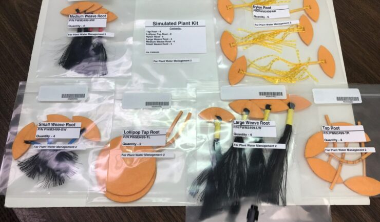
Astronauts Conduct Latest Plant Water Management on the International Space Station
NASA recently performed the sixth iteration of the CSS-supported Plant Water Management experiment on the International Space Station (ISS).