
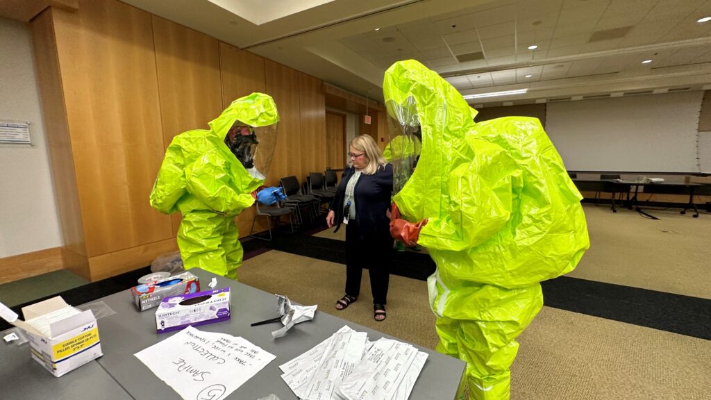

CSS scientists supporting the Environmental Protection Agency’s (EPA) Scientific and Technical Assistance for Consequence Management (STACM) contract are experienced in EPA’s emergency response efforts, both natural and manmade. To help EPA staff prepare for these emergency response efforts, CSS staff provide yearly response training. The training includes review of respiratory protection equipment, operation checks, a review of Level C, B, and A personal protective equipment (PPE). The various levels of PPE required for hazard response personnel provide increasing protection based on the hazardous material personnel are addressing. Level D provides minimum protect required using equipment such as gloves, coveralls, safety glasses, face shields, and chemical-resistant steel-toed shoes. Level A provides the highest level of protection for when the greatest hazard potential exists.
This equipment includes positive pressure, full face-piece self-contained breathing apparatus (SCBA); totally encapsulated chemical- and vapor-protective suit; inner and outer chemical-resistant gloves; and disposable protective suit, gloves, and boots. During the training, CSS staff have EPA personnel with the opportunity to try on and test the Level A PPE to try and complete some dexterity tasks, which adds some fun and entertainment to the training.

See More CSS Insights

Overcoming COVID-19 Challenges
Great job to our team supporting our contract with the U.S. General Services Administration on assisting the client with conducting a year’s worth of environmental, health, and safety surveys in just six months! Due to limitations with COVID-19, the team was unable to conduct their surveys on their usual timeline and instead had to work…
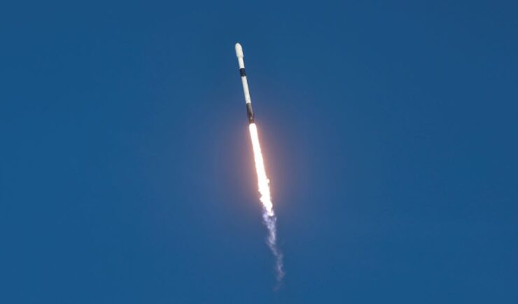
Preparing and Delivering Samples for Travel to the International Space Station
CSS employee owners on contract with NASA delivered six newly prepared Solidification Using a Baffle in Sealed Ampoules (SUBSA)—a high temperature furnace with temperature and timing control for melting samples to create different materials and alloys—samples for the NG-23 launch, which took place on September 14, 2025. On this mission, samples are being delivered for…
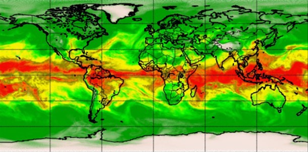
Advancing Severe Weather Predictions with Artificial Intelligence
As artificial intelligence (AI) and machine learning (ML) technologies evolve in Earth sciences, CSS employee owners (formerly Riverside staff) are growing our expertise in this field. CSS employee owners are advancing technologies for our client, NOAA’s Center for Satellite Applications and Research (STAR). Our staff have developed a framework, exploiting modern AI/ML techniques, to rapidly…