
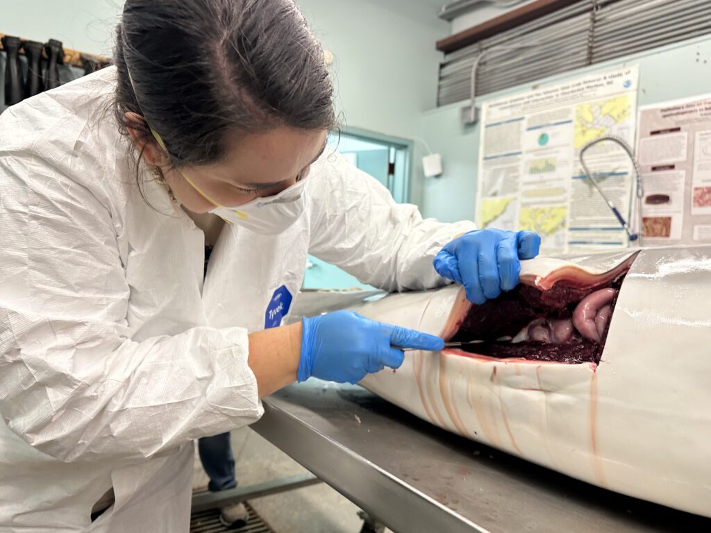
CSS employee owner and Marine Mammal Microplastic Specialist supporting NOAA’s National Centers for Coastal Ocean Science assists the South Carolina Marine Mammal Stranding Network in responding to dead marine mammals when they strand on beaches or estuaries throughout South Carolina. This is work is critical for human and environmental health because it provides invaluable samples which allow scientists to
- better understand ecosystem conditions since marine mammals are important indicators of the health of their environment,
- gain insight to the health of the marine mammal community,
- assume potential impacts for humans living in the coastal zone.
In addition, removing marine mammal carcasses from public spaces helps avoid potential disease transfer to humans.
The Lowcountry Marine Mammal Network (LMMN) is the current NOAA Fisheries permit holder—a permit required by the Marine Mammals Protection and Endangered Species Act for research including collecting samples for biopsies. The organization currently has only one staff member dedicated to these responses. Since responding to stranded, deceased marine mammals is not safe or possible to do alone, CSS staff supporting NCCOS frequently assist with field responses, conducting necropsies (i.e. animal autopsies), and sample collection.


Following sample collection, the CSS Marine Mammal Microplastic Specialist is specifically responsible for the gastrointestinal assessment. Responsibilities for this task include dissecting and analyzing the stomach and entire intestinal tracts of stranded marine mammals. This assessment helps provide information regarding the animal’s recent diet and is one of the final determinants of whether an animal was affected by human interaction, specifically by ingesting microplastics. This data is used by LMMN, NOAA’s National Marine Fisheries Service, and NOAA’s National Centers for Coastal Ocean Science.
See More CSS Insights
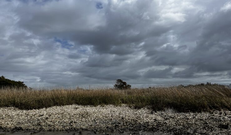
Organizing National Mussel Watch Program Sample Collection Missions
Established in 1986, NOAA’s National Mussel Watch Program has been systematically monitoring nearly 600 chemical contaminants (including legacy organic contaminants, trace metals, and contaminants of emerging concern) and biological indicators for the establishment of baseline contamination levels in coastal waters around the U.S., including the Great Lakes, Puerto Rico, and U.S. Virgin Islands. CSS employee…

An Approach to Assessing Laboratory Space
CSS employee owners were part of a team of scientists at the National Institutes of Health who developed an approach to evaluating new laboratory space to determine if the space will fit operational needs. This concept, titled The BaseLINE Approach, combines traditional safety processes with additional safety and environmental factors to assess before operations begin.…
Fire Detection Support
CSS provides fire detection support to the Atmospheric Science and Technology Applications team with NOAA’s National Environmental Satellite, Data, and Information Services. CSS Surface Characteristics Scientist serves on the Fire Emissions and Fire Detection teams, providing data manipulation, algorithm development, and performance evaluation for the system. This ensures fast and reliable satellite data to stakeholders,…