
- Success Stories
- Satellite Science & Environmental Intelligence
Supporting the National Integrated Drought Information System Team
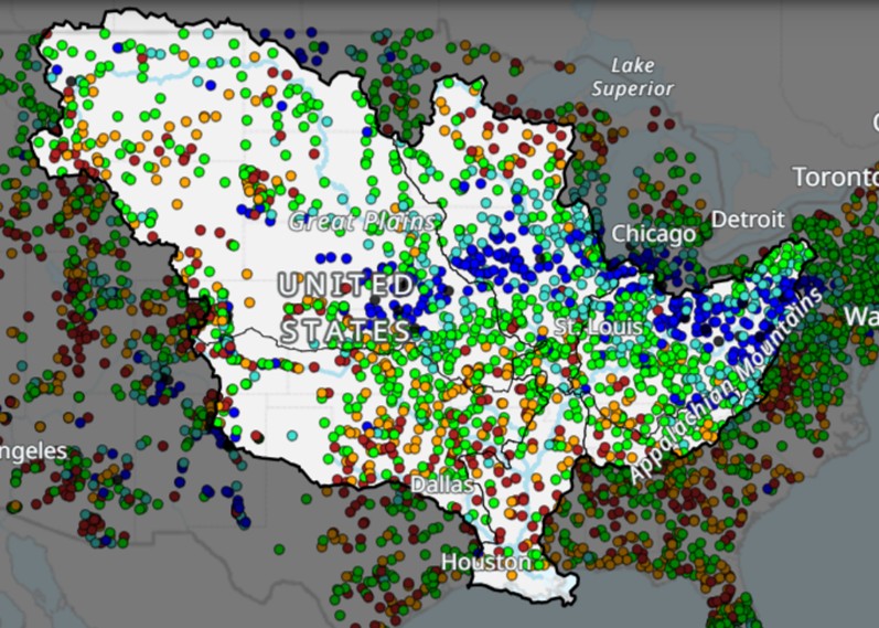
Drought is one of the most expensive and far-reaching natural disasters we face, contributing to wildfires and impacting everything from the food on our tables to the water in our taps and the barges carrying cargo down our rivers.
To help communities, farmers, and leaders stay ahead of these dry spells, the National Integrated Drought Information System (NIDIS) team at Drought.gov has been working tirelessly behind the scenes. Their work so far in 2026 has had far-reaching impacts on data access. Below are some details of how the Drought.gov team—supported by CSS employee owners and NOAA’s National Centers for Environmental Information Science Task Order teammates, iSciences—are keeping the nation’s premier drought portal resilient, secure, and smarter than ever.
Significant Milestone: The Mississippi River Basin Dashboard
One of the team’s proudest accomplishments is the launch and ongoing optimization of the Mississippi River Basin Drought & Water Dashboard. Covering 31 states and 40 percent of the contiguous U.S., this dashboard is a critical early-warning lifesaver for agricultural and maritime industries that rely on the basin.
The dashboard has received incredible acclaim, even being selected for publication in the Fiscal Year 2025 NOAA Annual Transition Report! To keep this critical tool running perfectly, the team successfully implemented a brand-new, real-time streamflow tracking system using the modern U.S. Geological Survey (USGS) Water Data API, ensuring water-level data never skipped a beat. This upgrade was necessary after the USGS officially retired its legacy “WaterWatch” tool in early 2026.
Key Technical and Platform Upgrades
A sleeker, faster web experience – To give editors and scientists a better workspace and visitors a faster website, CSS employee-owners led a major design transition and contributed a key patch allowing for the migration. The team retired older, slower website designs and upgraded the administrative interface to a highly customized, modern theme based on Drupal 11 Admin theme Gin.
Bringing maps and historical data to life – Maps are the heart of Drought.gov. In the spring of 2026, the team made maps incredibly local and interactive:
- Locality Realignment: Over the last decade, Connecticut replaced its old county boundaries with local “Planning Regions.” The team updated the entire Drought.gov database, mapping files, and historical data tools to match this real-world change, ensuring Connecticut residents get perfectly accurate local reports.
- Automated Image Scraping: To ensure other weather organizations (like the National Weather Service) can easily download and share static snapshots of Drought.gov maps, the team built a unified “image scraper” that automatically packages up-to-date graphics and stores them in secure cloud-storage buckets.
Hardening Cyber Security and Cloud Training – The team took significant strides to prepare for NOAA’s overarching transition to the cloud while keeping our active codebases airtight against cyber threats.
- Zero Vulnerability Goals: The team successfully integrated security scans directly into the software pipelines. After resolving several flagged items, they achieved perfect scores on multiple core codebases—yielding zero vulnerabilities!
- Cloud Readiness: To prepare for the future, members of the team completed intensive Amazon Web Services Cloud Training cohorts to ensure they are ready to build, monitor, and optimize drought data streams in cloud-native environments.
See More CSS Insights

55 Years of Earth Day!
Since April 22, 1970 — that’s 55 years! — we’ve celebrated Earth Day to raise environmental awareness and support for environmental protection. At CSS we have a passion for the environment and through various government contracts, we work with our clients to overcome challenges to help protect this rock we call home. Below are a…
Rapid Reporting of a Close Call Incident
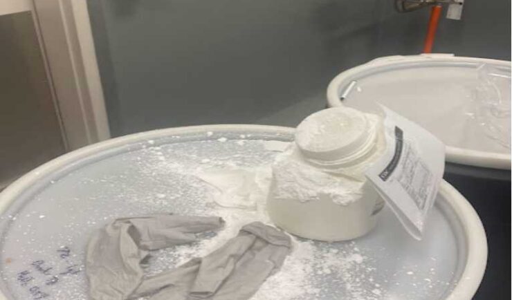
CSS Safety Protocols During a routine collection of waste, a container of white powder disintegrated without warning, causing the powder to spill and be expelled into the air. Thanks to CSS’s safety protocols and quick response, our Center for Disease Control waste disposal staff was able to assess the situation and respond to the chemical…
Installing Environmental Monitoring Stations
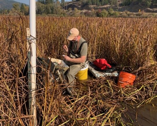
Our field crews installed/updated two environmental monitoring stations in remote locations in the Pacific Northwest. Multiple types of sensors were installed including air and soil temperature, precipitation, soil moisture and soil redox potential. These stations provide data for designing and evaluating soil remediation projects for U.S. Environmental Protection Agency’s Office of Research and Development. Installing…