- CSS News
- Environmental Resource Assessment & Management
Tracking Fish Through Restored Habitat
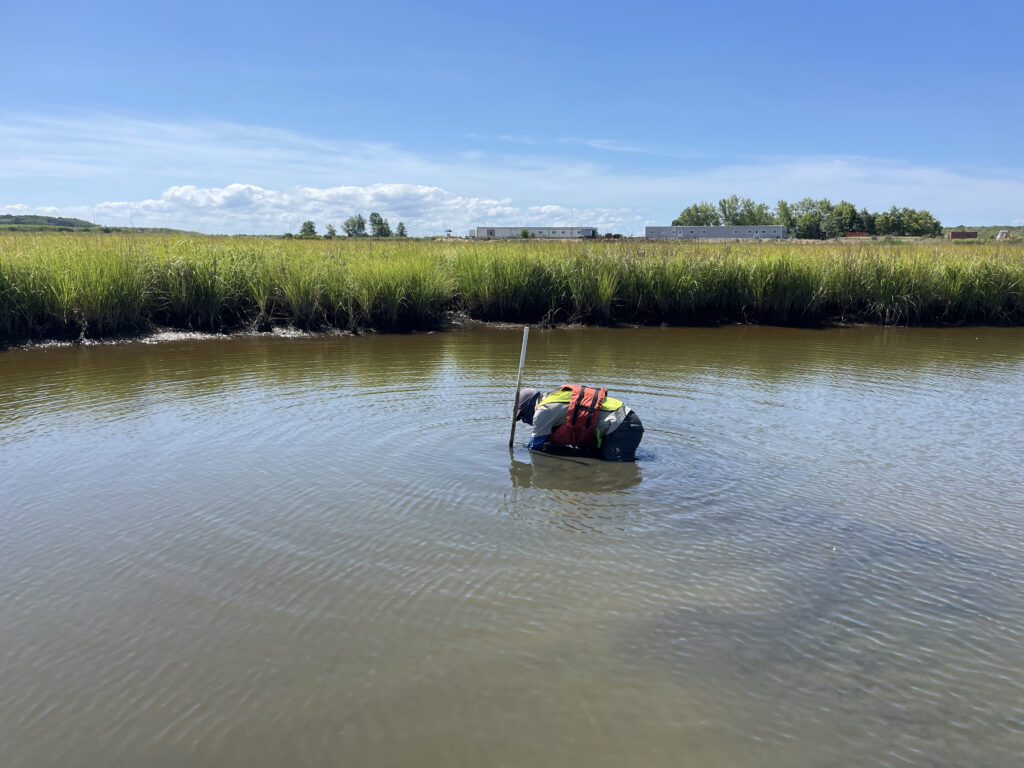
Poplar Island, a severely eroded remote island in the Chesapeake Bay, has been the site of a major restoration effort supported by CSS client, NOAA’s National Centers for Coastal Ocean Science (NCCOS), and their partners, Army Corps of Engineers, and the Maryland Department of Transportation, Maryland Port Administration. This massive effort utilizes dredge sediment from the shipping channel that leads to Baltimore Harbor to restore land mass lost to sea level rise and erosion. The goal is to rebuild natural habitats including wetlands, uplands, and embayments that provide critical habitat for birds and fish of the Chesapeake Bay. NCCOS and CSS scientists are studying this restored habitat and species that use the environment to help inform this restoration effort.
CSS employee owners work alongside federal program staff and local partners to collect samples throughout the regions. In fiscal year 2024 CSS staff deployed to the Gulf of Mexico and Pacific Ocean, which includes Alaska, Hawaii, and the West Coast. The team adds data they collect during these missions to the Coastal Pollution Data Explorer, a cloud-based ArcGIS platform that allows users to search by location or type of contaminant, generate a report, and download the data. A CSS employee owner serves as the lead developer for this online platform. Learn more about NOAA’s National Mussel Watch Program.


See More CSS Insights

CSS Employee Owners Receive NOAA Award
NOAA’s National Environmental Satellite and Data Information Service (NESDIS) recognizes the National Centers for Environmental Information Cloud Archive Team with 2026 NESDIS Outstanding Information Technology and Engineering Team Award! This award recognizes the team’s efforts to develop and deploy the Open Information Stewardship System (OISS) and create a large language model (L-OISS) that automates the generation and testing of complex archive workflows. CSS Employee Owners…
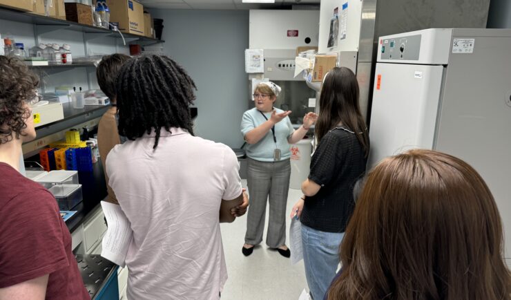
Training the Next Generation of Researchers
CSS staff support the National Institutes of Health (NIH) Division of Occupational Safety and Health by providing Safe Techniques Advance Research Science (STARS) training to summer interns. Following a pause during the pandemic, staff resumed training May 15, 2024. During the in-person STARS training, CSS staff cover key concepts from the pre-requisite NIH Lab Safety…

Engaging in New and Emergent Satellite Technologies
CSS employee owners (formerly Riverside employees) support the National Oceanic and Atmospheric Administration’s (NOAA) National Environmental Satellite, Data, and Information Service’s (NESDIS) Center for Satellite Applications and Research (STAR). STAR is the science arm of NESDIS, which acquires and manages the nation’s environmental satellites for NOAA. Satellite observations are critical to informing situational awareness and…