
- Success Stories, Uncategorized
- Environmental Resource Assessment & Management
Over 2000 River and Stream Samples Analyzed

Every five years teams supporting U.S. Environmental Protection Agency’s National Aquatic Resource Survey—consisting of tribal, state, and federal partners—collect samples from over 2000 river and stream reaches throughout the United States. CSS analytical chemists support this effort by processing the samples and then analyzing them for various chemicals to help characterize their water quality. The data are available at the U.S. EPA National Aquatic Resource Survey website where more information is provided on this program.
See More CSS Insights
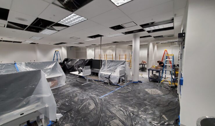
Custom Support to Space Florida
Our team recently reconfigured the office space and network for an incoming Space Life Science Lab tenant, Vaxxinity. This work included major renovations to the lab and office space, and new cable runs for their modified space. The team completed this large task within a four week period! Our Florida IT group works closely with…

Fueling NOAA’s Scientific Partnerships
Maintaining NOAA’s active global climate tracking requires seamless collaboration with top-tier universities, research labs, and private contractors. In support of NOAA’s National Centers for Environmental Information, CSS program manager for Climate Data Records (CDR) has managed complex budget plans and contract modifications, securing crucial funding for essential climate variables. This effort directly preserved funding for CRDs including the Total Solar Irradiance CDR (which measures the Sun’s energy…

Standard Guidelines for Evaluating Construction Safety and Health
Safety is of the utmost importance in new construction or renovations. CSS employee owners, supporting the National Institutes of Health (NIH) BaseLINE program helped develop and implement a proactive approach to evaluating safety and health conditions in newly constructed and renovated spaces before occupancy. The NIH BaseLINE program, Building Assessment of Safety Elements (Base) Lighting, Indoor air quality, Noise, Ergonomics (LINE), is a systematic readiness and safety assessment survey used for newly…