- CSS in the News, CSS News
- Emergency Preparedness & Response
Continuing EPA Emergency Response Support

We’re proud to announce that the U.S. Environmental Protection Agency Region Six recently awarded the Superfund Technical Assessment & Response Team (START) contract to the Weston Solutions, Inc. (Weston) team. CSS has supported the START program nationwide since 2005 and START Region Six as a prime contractor (2006-2016) and subsequently as a subcontractor to Weston. Our technical support includes Hazard Ranking System evaluations, preliminary assessments and site inspections, site investigations, emergency response, oil spill response, removal actions, technical and quality assurance editing, laboratory procurement and data validation. We couldn’t be more excited to continue to support this contract!
See More CSS Insights
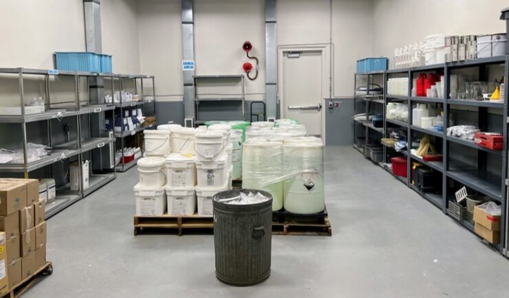
Extensive Support in Hazard Waste Management
For 22 years, CSS has provided support to the Centers for Disease Control and Prevention (CDC) Hazardous Waste Program ensuring safe handling, storage, packing, and shipping of hazardous waste materials within facilities and laboratories. Experienced CSS employees are located on site at CDC campuses in Atlanta, Georgia, San Juan, Puerto Rico, and Fort Collins, Colorado and are responsible for collecting waste on a weekly schedule and disposing of waste at various campuses on an annual…
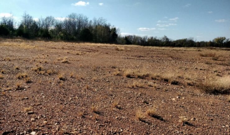
Remediating Soil Surrounding Abandoned Mines
CSS employees have been providing field, lab, and horticultural support for the Environmental Protection Agency’s efforts to develop and test methods for the remediation and revegetation of contaminated soils around selected abandoned mines in the western United States. One of the promising approaches is to incorporate biochar into the soil. Using biochar helps effectively adsorb trace metals and reduce their…
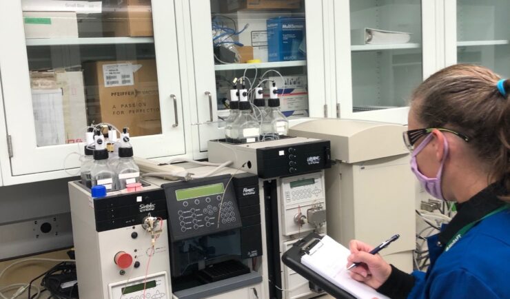
Supporting Safety In Higher Education Laboratories
In the past two years we’ve expanded our safety portfolio to supporting colleges and universities, ensuring their laboratories meet industrial hygiene and safety standards. Our staff member leading the effort is a Certified Industrial Hygienist (CIH) and Certified Safety Professional (CSP), and member of the Remote Industrial Hygiene and Safety Support Team. Our short-term projects…