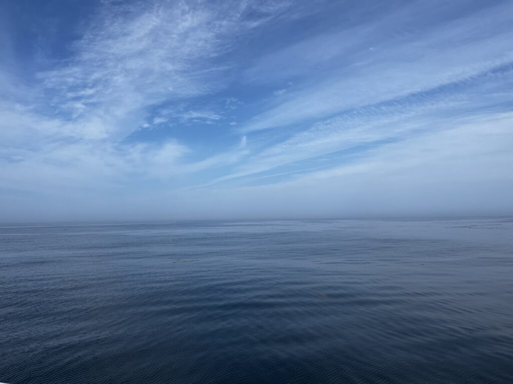
The ocean covers about 71 percent of the Earth’s surface, and life on this planet depends heavily on the ocean. We celebrate its vast being and presence each year on June 8. With CSS so heavily dedicated to Earth and environmental science, it makes sense that many CSS employee owners are deeply embedded in ocean science, from tidal ecosystems to deeper sea benthic communities. Below are a few projects our staff are involved in to assess ocean health and help make the ocean a healthier place for life on this planet.
- Restoring marsh ecosystems
- Assessing the ocean economy
- Conserving shallow coral communities affected by stony coral tissue loss disease
- Mapping, assessing, and restoring mesophotic and deep benthic communities
- Developing suitability models to inform BOEM’s selection of offshore wind energy areas
- Managing ocean data and tools to inform ocean planning and offshore renewable energy
- Forecasting, monitoring, and detecting harmful algal blooms
- Mapping and assessing seagrass and kelp and other coastal habitats
- Assessing ocean toxins and pollutants through shellfish sampling

Through several contracts with the National Oceanic and Atmospheric Administration and the U.S. Environmental Protection Agency, CSS employee owners are dedicated to protecting our ocean, its ecosystems, and life that depends on it.
See More CSS Insights
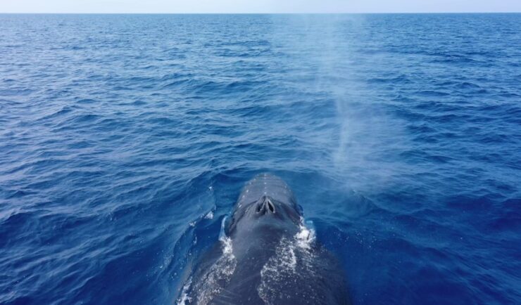
Training Marine Mammal Programs to Use Drones to Collect Dolphin and Whale Respiratory Health Data
CSS employee owner and Marine Mammal Drone Specialist supports NOAA’s National Centers for Coastal Ocean Science (NCCOS) Marine Mammal Health Assessment team with collecting respiratory health data from marine mammals in local waterways. Using specialized drones equipped with petri dishes provides a non-invasive method to collect exhaled breath (i.e. blow) samples from dolphins and whales.…

Employee Owners Nominated for NOAA Gold Medal Award
Congratulations to CSS employee owners supporting NOAA’s National Centers for Coastal Ocean Science for their nomination for the NOAA Gold Medal Award! CSS employee owners have been critical members of the team charged with the rapid development of spatial models that aid in offshore wind planning in the Gulf of Mexico. The team has collected…

Collecting and Studying Deep-Sea Coral
Three of our staff supporting NOAA’s National Centers for Coastal Ocean Science joined a team of nine other scientists on a 12 day expedition to collect deep-sea coral samples in the Gulf of Mexico.