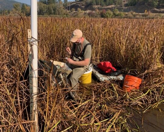
Our field crews installed/updated two environmental monitoring stations in remote locations in the Pacific Northwest. Multiple types of sensors were installed including air and soil temperature, precipitation, soil moisture and soil redox potential. These stations provide data for designing and evaluating soil remediation projects for U.S. Environmental Protection Agency’s Office of Research and Development.
Installing a monitoring station.
See More CSS Insights

Contributing to Wind Energy Area Designations
The Bureau of Ocean Energy Management (BOEM) recently announced two Wind Energy Areas (WEAs) in the Gulf of Mexico. The WEAs are located off the coasts of Galveston, Texas, and Lake Charles, Louisiana and have the potential to power nearly three million homes. BOEM collaborated with the National Oceanic and Atmospheric Administration (NOAA) to identify…
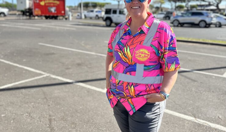
Assisting With Maui Wildfire Recovery
As part of our support to U.S. Environmental Protection Agency (EPA) Region 9 Superfund Technical Assessment & Response Team (START)—for which we are subcontracted through Weston Solutions, Inc.—CSS employee owners have been on-site in three-week rotations to assist throughout the rigorous recovery process.
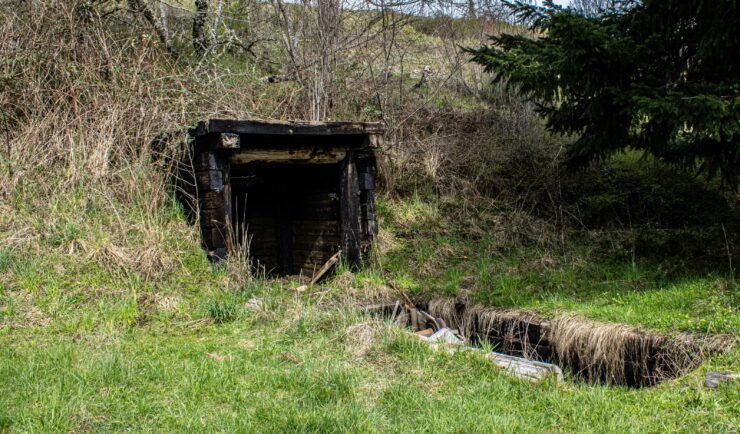
Assessing Contamination in Abandoned Mines
CSS supports the Environmental Protection Agency with assessing contamination within abandoned mines. There are thousands of abandoned mines throughout the western United States. Many of these mines are leaching heavy metals into nearby streams or have contaminated soils causing vegetation die off. CSS employee owners conduct field work to assess the extent of this contamination.…