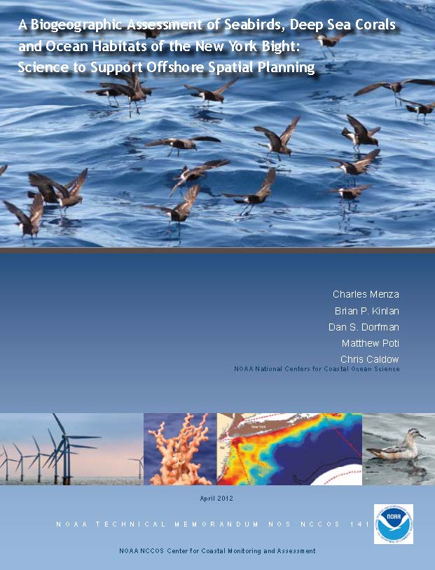
Predictive Modeling/Spatial Planning, NY Bight
CSS designed and implemented this integrated data acquisition, data management, and statistical predictive modeling to select optimal wind farm locations while minimally impacting seabirds.
Predictive Modeling/Spatial Planning, NY Bight.
CSS designed and implemented this integrated data acquisition, data management, and statistical predictive modeling to assess the technical feasibility of selecting optimal locations for placing wind farms while minimizing impacts to seabirds. We developed regional ecosystem maps delineating seabird species occurrence and abundance, integrating NOAA’s oceanic and atmospheric observational data. We coordinated this effort with NOAA partners including BOEM, USGS, USFWS, DOE; state, regional, industry, and academic groups; and NGOs. This project received the NOAA Bronze Medal
Additional Projects

SUBSA Implementation Partner
SUBSA (Solidification Using a Baffle in Sealed Ampoules) SUBSA is a high-temperature furnace on the International Space Station (ISS) that melts materials at a controlled rate, holds at maximum temperature to stabilize, and then solidifies at a precise cooling rate via a gradient freeze technique in a microgravity environment. A transparent zone in SUBSA enables…
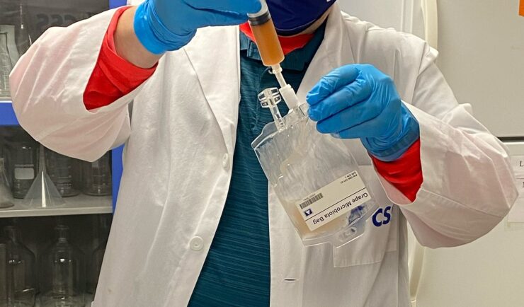
Grape Microbiota
CSS was selected to develop an experiment payload to examine the effect of microgravity throughout the various stages of wine fermentation.
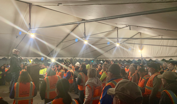
Construction and management of emergency housing solutions
Providing Emergency Housing and Base Camp Services for Government, and Private Companies nationwide. About this Partnership CSS has formed a strategic partnership with GFP Response, a premier emergency response solution provider. GFP is a premier emergency response solution provider. Services include emergency mobile services, specializing in base camp solutions and emergency management. Our partnership with GFP…
Service Areas

Satellite Science & Environmental Intelligence
Helping create a more environmentally sustainable, weather-ready, and secure nation through application of earth observation data

Space Science Application Support & Operations
We deliver scientific support to advance our clients’ research goals.
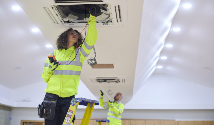
Facilities Operations & Maintenance
We understand your facility support needs and deliver customized solutions.

Safety, Health, & Environmental Compliance
We provide our clients with tools to protect their workforce, the public, and the environment.
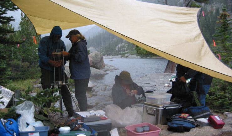
Environmental Resource Assessment & Management
We apply science to address challenges affecting the nation’s natural resources.
Emergency Preparedness & Response
We help our clients prepare for and protect the health and environment of communities after disasters and hazmat releases.


Get in touch
Contact us to learn more about our projects, capabilities, solutions, and service offerings.