
- Employee Spotlight
- Environmental Resource Assessment & Management
Collaborating with the Global Coral Community
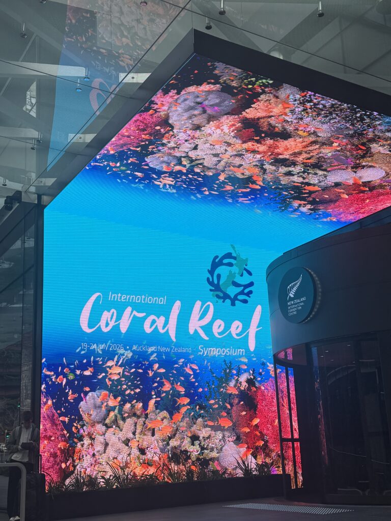
The International Coral Reef Symposium is an excellent opportunity for the global coral reef community to come together and share experiences, research, solutions, and traditional knowledge with the shared goal of protecting coral reefs and safeguarding their future.
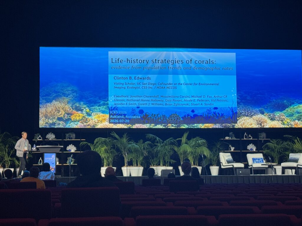
As part of our joint venture with Research Planning, Inc., our coral reef ecologists supporting the NOAA Coral Reef Conservation Program and NOAA Centers for Coastal Ocean Science attended the 2026 International Coral Reef Symposium in Auckland, New Zealand. Our team had the opportunity to network with global colleagues and collaborate on issues affecting coral reefs around the world.
In addition, staff presented on several projects. Below is a list of the presentations they delivered.
- Life-history Strategies of Corals: Evidence from Population Trends and Demographic Rates
- Endangered, Threatened, and Stressed Out: What the U.S. National Coral Reef Monitoring Program Reveals about ESA-Listed Caribbean Coral Populations
- More Than Just Counting Corals: What the U.S. National Coral Reef Monitoring Program Can Tell Atlantic Reef Managers About Benthic Community Status and Trends
- More than Decade of Rapid Coral Community Change on U.S. Atlantic Reefs: What the U.S. National Coral Reef Monitoring Program Can Tell Atlantic Reef Managers About Benthic Community Status and Trends
See More CSS Insights
Supporting the Mississippi River Basin Drought and Water Dashboard Development
Congratulations to NOAA’s National Integrated Drought Information System (NIDIS) on the launch of the Mississippi River Basin Drought and Water Dashboard. This dashboard provides crucial, timely information to support decision-making for those living and working in the basin, which spans 31 states and 40 percent of the contiguous U.S. The team created the dashboard to…
Remediating Soil Surrounding Abandoned Mines
CSS employees have been providing field, lab, and horticultural support for the Environmental Protection Agency’s efforts to develop and test methods for the remediation and revegetation of contaminated soils around selected abandoned mines in the western United States. One of the promising approaches is to incorporate biochar into the soil. Using biochar helps effectively adsorb trace metals and reduce their…
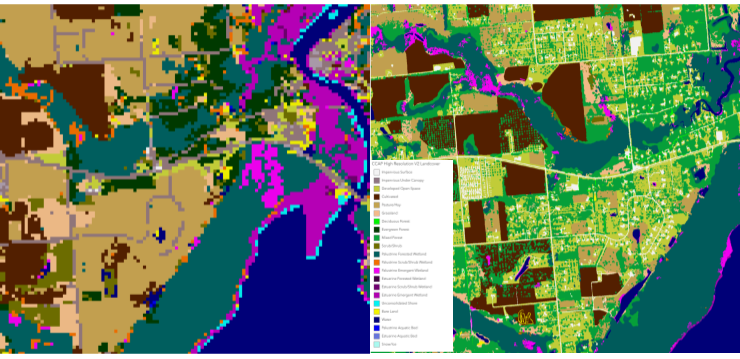
High Resolution Land Cover Maps Now Available
NOAA’s Office for Coastal Management has released higher resolution land cover maps for Alabama, Mississippi, Northeast Ohio, Rhode Island, and the Puget Sound in Washington. These 1 meter data—previously only available in 30 meter—provide more detail communities need to map and understand their landscapes and features, including tree canopy, wetlands, impervious surface and several other categories. This additional detail will help inform decisions regarding stormwater management, flood mitigation, wetland restoration, and more. CSS employee owners—subcontracted through Lynker Technologies—contributed to the release of this…