- Success Stories, Uncategorized
- Environmental Resource Assessment & Management
Monitoring Air Quality in California’s San Joaquin Valley
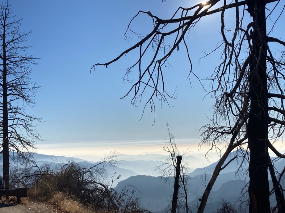
CSS employee owners supported the deployment and operation of the U.S. Environmental Protection Agency (EPA) air quality monitoring trailer (WEAVE COM – Western Enhanced Air quality VEhicle for COmmunity Monitoring) in California’s San Joaquin Valley in during late fall and early winter of 2024. Elevated particulate matter (PM2.5) is frequently found throughout the valley during the wintertime when thermal inversions trap pollution. Instruments on the trailer measure criteria air pollutants, other airborne contaminants and the chemical composition of particulate matter. The mobile lab allows scientists to collect atmospheric data to fill in gaps between existing fixed air quality monitoring stations to help identify sources and types of atmospheric PM2.5. CSS staff helped set up the trailer at the deployment site, conducted daily quality control checks on multiple instruments, and supported instrument operations throughout the deployment.


See More CSS Insights
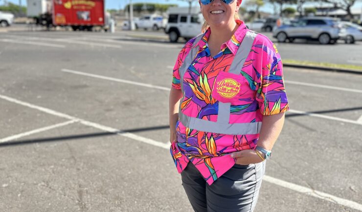
Assisting With Maui Wildfire Recovery
As part of our support to U.S. Environmental Protection Agency (EPA) Region 9 Superfund Technical Assessment & Response Team (START)—for which we are subcontracted through Weston Solutions, Inc.—CSS employee owners have been on-site in three-week rotations to assist throughout the rigorous recovery process.
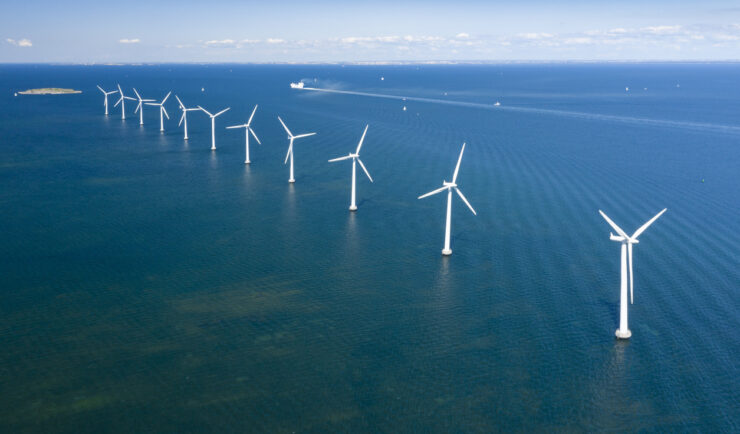
Contributing to Wind Energy Area Designations
The Bureau of Ocean Energy Management (BOEM) recently announced two Wind Energy Areas (WEAs) in the Gulf of Mexico. The WEAs are located off the coasts of Galveston, Texas, and Lake Charles, Louisiana and have the potential to power nearly three million homes. BOEM collaborated with the National Oceanic and Atmospheric Administration (NOAA) to identify…
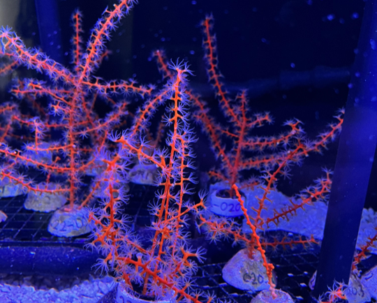
Studying Mesophotic Coral Health
Mesophotic coral can live at depths of 500 feet below the ocean surface. Even at this depth, some of the mesophotic corals in the Gulf of Mexico were affected by the Deepwater Horizon oil spill in 2010. Our coral scientists supporting NOAA’s National Centers for Coastal Ocean Science are studying the extent of this impact.…